


El Niño Returns This Summer, Promising Droughts and Floods
The return of the El Niño weather pattern this summer is anticipated to bring significant climatic changes across the globe. This phenomenon is characterized by a rise in ocean temperatures in the central and eastern Pacific, impacting weather patterns for several months.
What is El Niño?
El Niño occurs when trade winds weaken, allowing warm water to travel eastward towards South America. This event typically happens every three to seven years and lasts between nine and twelve months. The previous El Niño event was recorded in 2022 and 2023, which contributed to unprecedented global temperatures.
Climate Predictions for Summer and Beyond
Forecasters from the National Oceanic and Atmospheric Administration (NOAA) predict a 50 to 60 percent chance of El Niño formation by late summer. However, they caution that early predictions can lack accuracy due to considerable model uncertainty.
Impact on Weather Patterns
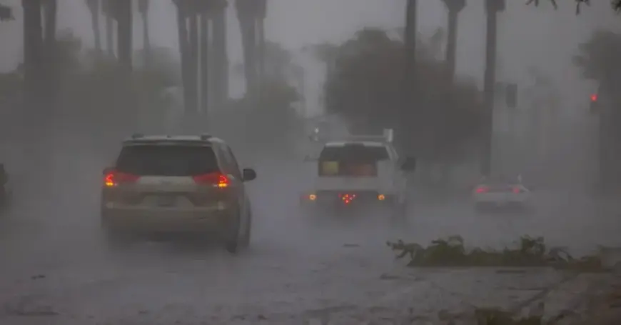
- Wetter winters expected in the Southern United States.
- Drier winters anticipated across the Northern states.
- Increased risk of winter storms, landslides, and flooding along the Pacific Coast.
- Possible delays in the monsoon season in India.
- Heightened drought and wildfire hazards in Australia and Southeast Asia.
According to Michelle L’Heureux from NOAA’s Climate Prediction Center, these climatic shifts will be monitored and refined in the upcoming months. The potential for El Niño to disrupt typical weather patterns can be significant, leading to extremes in both precipitation and drought.
Effects on Hurricanes
Interestingly, El Niño also influences hurricanes. The upper-level wind patterns associated with El Niño can inhibit hurricane formation in the Atlantic and Caribbean regions during summer and fall.
Current Ocean Conditions
As of this year, scientists have begun noting a warming trend in the equatorial Pacific. This increase in temperature contributes to the ocean’s heat content—a crucial indicator of climate change—reaching record levels for five consecutive years.
Shifts from La Niña to El Niño
The Pacific Ocean is currently transitioning from a La Niña phase, characterized by cooler waters, to a neutral state, leading into a developing El Niño by late summer. As this transition occurs, the chances of El Niño forming rise from 40 percent in June to 60 percent by September.
Understanding the implications of El Niño is vital for preparation and response strategies globally. Accurate forecasts will be essential as we move deeper into the summer months. For ongoing updates and expert insights, visit Filmogaz.com.