


Central NY Faces Snow Advisory: Up to 7 Inches Expected
The National Weather Service has issued a winter weather advisory for Central New York as a significant snow event approaches. The advisory is in effect from 1 p.m. Friday until 7 a.m. Sunday, covering several counties, including Northern Cayuga, Oswego, Monroe, Wayne, Livingston, and Ontario.
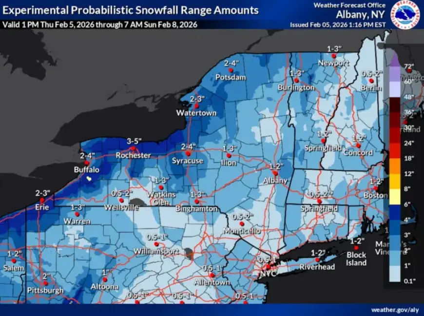
Expected Snow Accumulations
A clipper system is set to bring widespread light snow on Friday. Scattered snow showers will intensify in the evening, with more substantial snowfall overnight. The system is expected to exit by Saturday, but lake-effect snow may lead to additional accumulations.
Snowfall Estimates
- North and west of Syracuse: Total accumulations of 3 to 6 inches.
- Lake Ontario shoreline: 4 to 7 inches expected.
- Closer to Syracuse: Anticipated snowfall of 2 to 4 inches.
Winds gusting up to 35 mph may cause blowing and drifting snow, complicating travel conditions. The winter storm will likely result in difficult driving conditions, especially during the Friday evening commute, prompting authorities to advise caution.
Bitter Cold Conditions Ahead
An arctic front will sweep through late Friday night into Saturday morning, ushering in frigid temperatures for the weekend. Daytime highs on Sunday will range from single digits to low teens in certain areas.
Temperature Forecast
- Sunday daytime temperatures: Generally in the single digits.
- Overnight lows: Expected to drop below zero.
Strong winds will accompany the cold front, with sustained winds between 15 to 25 mph, and gusts reaching around 40 mph. This combination of cold air and wind may create dangerously low wind chills, potentially dropping to between minus-15 and minus-25 degrees. In some areas, wind chill values could even fall to minus-30 degrees.
Cold Watch Advisory
An extreme cold watch is in place for the entire Central New York region from late Friday night through early Sunday afternoon. Weather officials will continue to monitor conditions and may update advisories as more information becomes available.
Following this cold snap, temperatures are predicted to trend warmer next week, potentially nearing normal levels. Residents are encouraged to stay informed about changing weather conditions and to exercise caution during this winter storm event.