


Central NY Braces for 4-8 Inches as Winter Storm Warning Intensifies
The National Weather Service has issued a winter storm warning for Central New York, predicting snow accumulations of 4 to 8 inches. This alert was updated on Sunday, highlighting the potential impact on the region.
Current Conditions and Forecast
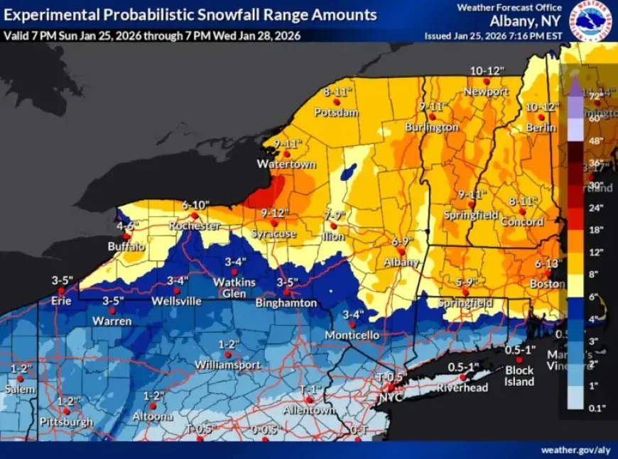
As of 7 p.m. on Sunday, reports indicate that areas around Syracuse have already received snowfalls between 6 and 8 inches. The winter storm warning will remain active until 7 p.m. on Monday, affecting 17 counties in the region.
Snow Accumulation and Rates
Snowfall rates are expected to reach over 2 inches per hour during Sunday evening. After this peak, snowfall is anticipated to taper off gradually.
- Initial snow accumulation: 4 to 8 inches
- Current Syracuse snowfall: 6 to 8 inches
- Warning duration: Until Monday at 7 p.m.
- Affected counties: 17 in Central New York
Impact on Schools and Temperatures
Many schools in the area will be closed on Monday due to the winter storm conditions. As the storm progresses, temperatures are expected to remain in the upper single digits to teens.
Wind and Additional Snowfall
Wind gusts may reach up to 35 mph on Monday afternoon, contributing to blowing and drifting snow conditions. Evening weather forecasts predict the possibility of lake effect snow showers originating from Lake Ontario, particularly near the New York Thruway corridor.
- Expected additional snowfall by Monday night: 1 to 2 inches
- Wind gusts: Up to 35 mph
- Wind chills: Will create colder conditions
Residents should stay informed and prepare for challenging winter weather as Central New York braces for this significant snowfall event.