


Winter Storm Update: Extreme Cold Hits Texas Hard
Texas is grappling with extreme cold as a winter storm sweeps across the state, bringing significant risks of power outages. The National Weather Service (NWS) has highlighted that areas experiencing recent precipitation are particularly vulnerable. As the freezing line advances, temperatures in the Greater Houston region are projected to drop below freezing overnight.
Temperature Drops and Wind Chill
According to meteorologist Jimmy Fowler, the combination of low temperatures and wind gusts between 20 and 30 miles per hour poses a substantial threat. The period most concerning for weather-related power outages is anticipated to be tomorrow afternoon. Houston could see temperatures plunge into the single digits as the storm progresses.
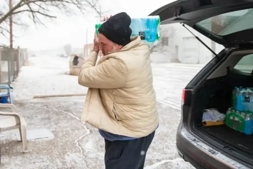
Impact on West Texas
Residents in West Texas are advised to be cautious due to hazardous road conditions and persistent cold weather. Meteorologist Kevin Lamberson from the NWS in Midland noted that precipitation will shift from sleet to snow Saturday night, making roads slick. On Sunday, light snow showers combined with wind chills ranging from -5 to -10 degrees are expected.
- Low temperatures in West Texas could reach single digits, the coldest since the 1930s.
- Dangerous road conditions are likely to continue into Monday due to potential refreezing of surfaces.
- Freezing rain will mainly affect the Davis Mountains.
Power Outages Across Texas
As of Saturday afternoon, over 54,300 electricity customers in Texas reported power outages, particularly in the northeastern and eastern parts of the state. Despite these challenges, the Texas Oil & Gas Association stated that the overall impact on natural gas production remains minimal. Reports of local power outages have emerged from the Permian and Delaware Basins.
With conditions expected to worsen, Texas residents should remain vigilant. The focus will be on monitoring weather developments and ensuring safety as the winter storm continues to unfold.