


Dense Fog to Precede Plummeting Weekend Temperatures in Metro Detroit
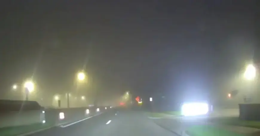
DETROIT — Filmogaz.com reports dense fog returned to Metro Detroit Friday morning. The fog reduced visibility during the commute.
A Dense Fog Advisory is in place until 10 a.m. The fog is expected to lift by late morning.
Morning commute
Drivers should expect slick conditions and low visibility during early travel. Exercise caution and allow extra time for trips.
Cloud cover may thin in the afternoon. Some breaks of sun are possible before evening.
Weekend storms and showers
A line of strong storms located to the west will weaken as it moves into southeast Michigan late tonight. Showers will accompany that system.
Rain should linger into Saturday morning and taper off by midday. Spotty showers are possible Sunday.
Some models show snowflakes mixing in for parts of the region on Sunday. Accumulations look minimal at this time.
Temperatures and cold front
Highs near 70 degrees are expected late this week. A cold front will arrive over the weekend and push temperatures downward.
Temperatures will slide into the 20s by Monday morning. Residents should prepare for plummeting weekend temperatures across Metro Detroit.
Next week outlook
Overall conditions look quieter and drier next week. No major rainmakers are showing up in current guidance.
Although the week starts cold, temperatures should rebound fairly quickly. Keep an eye on forecasts for any adjustments.