


Wind and Rain Set for SoCal Weekend; Dust Storms Possible at Coachella
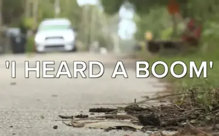
A low-pressure system will move across Southern California this weekend. It will bring wind and rain to many areas and raise dust concerns near Coachella.
Timing and expected impacts
The National Weather Service says light rain will begin Friday afternoon in parts of Los Angeles County. A stronger round of rain is likely Saturday night, producing periods of precipitation across the region.
Heavier rain is expected north of Point Conception in Santa Barbara and San Luis Obispo counties. Meteorologist Rose Schoenfeld warned thunderstorms could produce strong, damaging wind gusts.
Possible severe weather
With thunderstorms, forecasters listed risks of small hail and isolated waterspouts or weak tornadoes. Mountain and foothill totals are forecast at 0.5 to 1.5 inches of rain.
Areas above 6,000 feet could see a light dusting of snow. Coastal surf and reduced visibility may accompany the stronger winds.
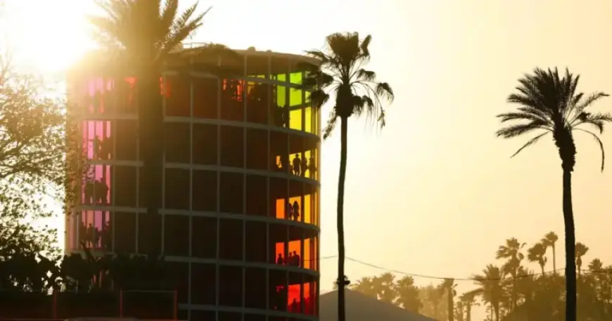
Coachella Valley: dust and air quality
Gusty winds will affect the Coachella Valley on Friday. An air quality alert remains in effect until 3 a.m. Saturday for several valley cities.
- Indio
- Palm Springs
- Cathedral City
- Palm Desert
- La Quinta
- Coachella
Harmful particle pollution from windblown dust is expected, especially in the northwest valley. Health officials warned that particle pollution can worsen asthma and heart and lung conditions.
Recommendations for residents and visitors
Officials advise keeping doors and windows closed and running air conditioners and purifiers. Avoid extra smoke or pollution from grilling and fireplaces.
Festivalgoers should plan for gusty winds and possible reduced air quality. Showers are possible in the valley on Sunday.
Temperature and other effects
Temperatures are forecast 5 to 10 degrees below normal on Saturday. Sunday looks 6 to 15 degrees below normal, with Monday slightly warmer but still below average.
Despite some desert dryness, the weekend rain will help delay the onset of high fire season. That reduces near-term wildfire concerns after recent record heat.
El Niño outlook and historical context
Forecasters expect a strong El Niño to develop later this year. That pattern can increase the chance of wetter winters in the region.
Past super El Niño events had mixed results. The 1997-98 cycle brought intense storms and flooding, while 2015-16 produced near-average rainfall.
Spaceflight note
NASA is not reporting concerns for the Artemis II splashdown. The capsule is scheduled to return off San Diego at 5:07 p.m. Friday.
Strong winds, high surf, or poor visibility can complicate splashdowns. For now, officials say the timing and crew safety are unaffected.
This report includes contributions from Alex Wigglesworth for Filmogaz.com.