


Earthquake Today: 3.0-Magnitude Quake Rattles Lexington and Columbia Areas
A 3. 0-magnitude earthquake today shook communities near Lexington and Columbia, South Carolina, producing audible rumbling and noticeable shaking across the region. The timing and shallow depth made the tremor perceptible across a cluster of towns, prompting the U. S. Geological Survey to publish location details and uncertainty measurements.
U. S. Geological Survey data on the quake
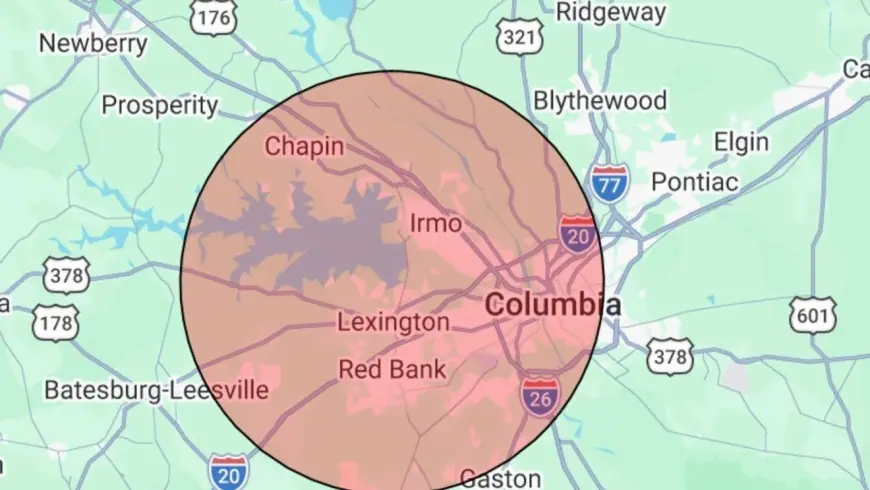
The U. S. Geological Survey recorded the tremor at around 12: 17 p. m. local time on Thursday. The agency placed the epicenter 2. 8 miles north of Lexington and listed the quake’s depth at 0 kilometers, a very shallow event that increases the likelihood of residents feeling shaking at the surface. The USGS also noted a horizontal location uncertainty of 1. 6 kilometers.
Lexington epicenter and immediate coordinates
With the epicenter measured 2. 8 miles north of Lexington, the proximity to populated areas explains why the event was felt over a broad radius. The 3. 0 magnitude figure classifies the tremor as small but, combined with a 0-kilometer depth, capable of producing perceptible effects such as rattling windows and minor shaking in nearby structures.
Columbia and surrounding communities felt the rumble
Columbia, located roughly 12 miles east of the epicenter, reported shaking that residents described as both felt and heard. The audible rumbling and perceptible motion in Columbia underscore how a modest magnitude can have a noticeable presence when the epicenter is shallow and relatively close to urban areas.
Irmo, Seven Oaks and Oak Grove also experienced shaking
Nearby communities including Irmo, Seven Oaks and Oak Grove registered the tremor as well. The distribution of felt reports across these towns aligns with the USGS location and the shallow depth measurement, producing minor shaking over an area stretching at least into the Columbia metropolitan fringe.
Magnitude, uncertainty and observed impact
The event’s 3. 0 magnitude and shallow 0-kilometer depth explain the immediate physical effects: rattled windows and short-duration shaking but no structural damage. The USGS’s stated horizontal location uncertainty of 1. 6 kilometers means the epicenter placement carries a modest margin of error, but that margin does not alter the broader picture of a small, noticeable quake. No damage or injuries were immediately reported following the tremor.
What makes this notable is the combination of a modest magnitude with an essentially surface-level depth; that pairing tends to amplify the perceptible effects in nearby towns even when overall energy release is limited. The USGS measurements—magnitude 3. 0, 2. 8 miles north of Lexington, depth 0 kilometers and 1. 6 kilometers of horizontal uncertainty—provide a concise technical summary of why residents across Lexington, Columbia and surrounding communities felt the event today.