


Tropical Low Moves South, Promising Significant Drought Relief
The tropical low currently affecting Australia is set to move south this weekend, promising significant drought relief for the southeastern states. Rainfall amounts could reach up to 100mm in areas of South Australia, Victoria, and southwestern New South Wales, marking potentially the heaviest precipitation in over a decade.
Tropical Low Forecast: Heavy Rain Ahead
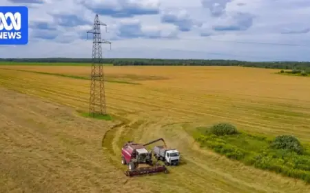
This system has already caused two rounds of rainfall and storms across southern regions since the weekend. Areas such as northern Victoria and southern New South Wales have reported impressive totals, including 66mm in Kyabram and 64mm in Albury—both the highest in three years for a 72-hour period.
Model Predictions
- The tropical low is predicted to hover southeast of Alice Springs for 48 hours before tracking through South Australia.
- Beginning Saturday, the system may weaken, but remnants will likely impact New South Wales and Victoria by early next week.
- The Bureau of Meteorology (BOM) suggests there is a slight chance the low will maintain its tropical characteristics into Victoria.
Potential Rainfall Totals
Weather models indicate widespread rainfall from Saturday to Wednesday. Areas most likely to receive higher rainfalls include:
- Western Victoria
- Southwestern New South Wales
- Parts of South Australia, particularly the Riverland, Murraylands, and Flinders regions
Near the center of the system, rainfall totals could vary between 50mm and 100mm. In fact, a total of 100mm in Mildura would mark the heaviest rainfall since early 2011.
Risks of Severe Weather
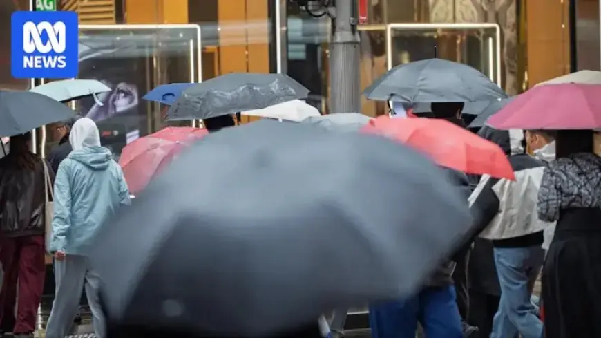
While heavy rain is highly anticipated, there remains a risk of severe thunderstorms that could lead to flash flooding. Coastal areas, including major cities, may also experience a mix of moderate to heavy rains. Reports indicate that:
- Adelaide could see more than 50mm
- Melbourne may receive upwards of 25mm
This tropical low originated near the Queensland-Northern Territory border a week ago, moving slowly at just 3 kilometers per hour. This has led to substantial rainfall in Australia’s central and driest regions. For example:
- Kalamurina recorded 240mm this month, setting a new record.
- Arkaroola in South Australia reported 228mm, its wettest month in 37 years.
- Jervois in the Northern Territory saw 263mm, the wettest month in 26 years.
- White Cliffs in New South Wales recorded 148mm, also a record in 33 years.
As the tropical low continues to bring rain, it remains imperative to monitor flooding risks. Flood watches are currently in effect across much of central Australia, with warnings indicating potential isolation of communities due to inundated roads.
Conclusion
The anticipated southern movement of the tropical low presents a significant opportunity for drought relief. As it brings much-needed rain and potential thunderstorms, residents and farmers in southeastern Australia are urged to stay informed and prepared for changing weather conditions.