


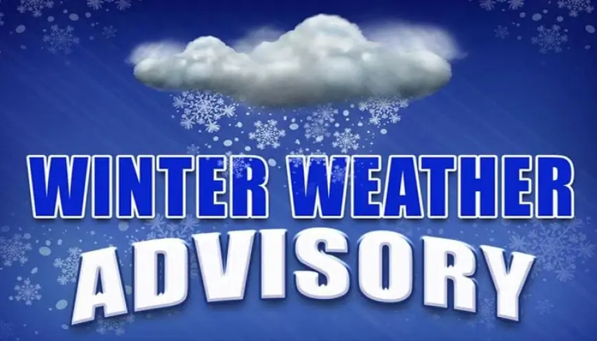
Winter Weather Advisory 2026: Winter Storm Hernando Blasts the Northeast With Blizzard Warnings, Up to 2 Feet of Snow, and Mass Cancellations
A potentially historic nor'easter — Winter Storm Hernando — is hammering the Northeastern United States today, Monday, February 23, 2026, with blizzard warnings, up to 2 feet of snow, and hurricane-force wind gusts shutting down the I-95 corridor from Delaware to Connecticut. The storm rapidly intensified into a bomb cyclone overnight, triggering states of emergency across multiple states and grounding hundreds of flights.
What Is a Winter Weather Advisory — and Why Hernando Is Far Beyond One
A winter weather advisory is the lowest tier of winter weather alerts, typically issued for 2–4 inches of snow or any amount of freezing rain that creates travel hazards. A blizzard warning, by contrast, is issued when snow or blowing snow will reduce visibility to a quarter mile or less for at least three hours, with sustained winds of 35 mph or higher. Winter Storm Hernando has triggered the most severe category of winter alerts across the Northeast — not just a winter weather advisory.
Winter Storm Hernando: Storm Overview and Alerts by Region
A major, potentially historic blizzard is affecting the Northeastern United States from February 22–23, 2026. The storm is forecasted to drop as much as 2 feet of snow across much of the Northeast megalopolis and bring blizzard conditions, strong gusty winds, and coastal flooding to shorelines. Blizzard warnings were issued for a majority of the I-95 corridor, the first in four years since 2022, and the first in New York City since a blizzard in 2017.
| Region | Alert Level | Expected Snow |
|---|---|---|
| New York City (all 5 boroughs) | Blizzard Warning | 13–18+ inches |
| New Jersey (statewide) | Blizzard Warning | Up to 24 inches |
| Philadelphia Metro & Suburbs | Blizzard Warning | Up to 24 inches |
| Delaware (statewide) | Blizzard Warning | Up to 24 inches |
| Boston | Blizzard Warning | 15–24+ inches |
| Providence, RI | Winter Storm Watch | Up to 15 inches |
| D.C. / Baltimore area | Winter Weather Advisory | Rain/snow mix |
Bomb Cyclone Conditions: Wind, Visibility, and Power Outages
Snowfall rates will exceed 1 inch per hour at times, with snowfall totals up to 2 feet, resulting in near-impossible travel conditions and significant delays. Wind gusts of 40–70 mph are expected from coastal New Jersey into southeastern New England. For New York City and Philadelphia, the heaviest snowfall is expected through the overnight hours, with snowfall rates potentially exceeding 1 inch per hour and winds gusting to 55 mph. For Boston, the heaviest snowfall is expected through Monday between 5 a.m. and 4 p.m. ET, with rates of 1–2 inches per hour and some areas potentially seeing 3 inches per hour.
State Emergencies, Travel Bans, and School Closures
New Jersey Governor Mikie Sherrill declared a state of emergency in advance of the storm, urging all residents to stay off the roads. New York Governor Kathy Hochul also declared a state of emergency. The New York City Department of Sanitation mobilized 5,000 workers on a 12-hour schedule beginning February 22.
Vehicle restrictions were placed on most major roadways in eastern Pennsylvania, including I-95 and the Pennsylvania Turnpike. Philadelphia declared a "code blue" from February 22–25, opening warming centers due to below-freezing temperatures and heavy snowfall. The School District of Philadelphia switched to virtual learning for February 23, and most New Jersey colleges including Rutgers, Montclair State, and Rowan University moved all classes to virtual as well.
Flight Cancellations and Transit Disruptions
New York City leads flight disruptions with over 60% of flights into JFK and LaGuardia airports already canceled. Boston Logan International, Philadelphia International, and Ronald Reagan National in D.C. are also seeing hundreds of cancellations. All Broadway performances scheduled for 6 p.m. Sunday were canceled, and New York City public schools are closed Monday. Metro-North Railroad is operating on hourly schedules for the Harlem, New Haven, and Hudson lines, while the Long Island Rail Road is running a Sunday schedule for February 23.
Safety Tips During the Winter Weather Advisory and Blizzard Warning
- Stay indoors and off all roadways until conditions improve
- Charge all electronic devices and flashlights in case of power outages
- If you must travel, bring an emergency kit: blankets, water, a phone charger, and a flashlight
- Move vehicles off streets to allow plow crews to operate
- Check the National Weather Service for real-time updates as conditions evolve through Monday evening