Snow Forecast: Warnings for snow, rain and ice as cold snap continues

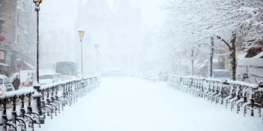
Forecasters have issued a snow forecast and multiple yellow warnings across parts of the UK as a cold snap brings subzero nights, strong winds and heavy rain that threaten travel disruption and flooding.
Snow Forecast for Wales, the Midlands and the southern Pennines
Yellow warnings for snow are set to affect parts of Wales, the Midlands and the southern Pennines, with several centimetres expected to accumulate over high ground above about 150-200m elevation and the possibility of up to 15cm over the highest ground of mid and south‑east Wales, Herefordshire, Shropshire and the southern Pennines. In Wales a separate yellow warning covers 18 counties and forecasters say people in higher ground in mid and south‑east Wales could see up to 20cm (8in) of snow. Some snow was already turning up over hills as rain moved in from the south and west.
Rain, flooding risk and strong coastal gusts
Rain will be heavy in southern England with 30-50mm (1. 2-2. 0in) possible in the wettest locations, raising the threat of further flooding in areas already affected earlier in the year. Northern Ireland will see a mix of wet and wintry weather, with persistent low‑level rain and snow over the Sperrins and other high ground. Wind gusts of 45-55mph have been flagged as an extra hazard, and strong east to northeasterly winds could produce large waves along some east‑facing coasts, particularly the English Channel.
Travel disruption, ice and local cuts to power
Warnings point to difficult travelling conditions overnight and into the following day: a yellow warning for snow in Wales runs until 06: 00 GMT on Thursday and an ice warning in the same area is in effect until 10: 00 on Thursday. Forecasters warn of a small chance of delays on roads, stranded vehicles and disruption to train and flight schedules, and they say some rural communities could become cut off. There is also a small chance of power and mobile service cuts where strong winds combine with snow and ice.
Temperatures have already plunged in places: parts of north‑east Scotland fell below -9C (16F) on Tuesday night and many northern and central areas saw frosty starts. Cloud amounts increased from the south and west as rain pushed into Northern Ireland, Wales and southern England, with low‑level rain turning to sleet or wet snow at times below the hill elevations where heaviest accumulations are expected.
Yellow National Severe Weather Warnings remain in force into Thursday morning in areas along the frontal band. Forecasters note some uncertainty in the exact placement and intensity of snow bands, and they advise keeping up to date with the hour‑by‑hour forecast for local changes. As the system clears on Thursday, most areas are expected to turn drier, while Northern Ireland and western Scotland will see cloud and rain increasing by the afternoon. The UK Health Security Agency has issued a cold weather alert covering most of England until 18: 00 GMT on Friday.
Next steps on the timetable: the snow and ice warnings for Wales persist into Thursday morning, the regional rain and snow band will shift northwards into the west Midlands and northern England during Wednesday evening and overnight, and forecasters say travel conditions should improve as the system moves on and drier weather returns on Thursday.


