


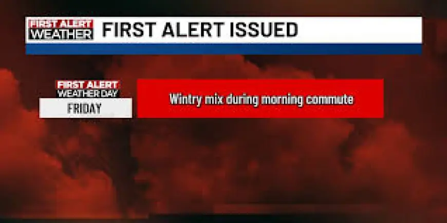
Winter Weather Advisory: Heavy Rain, Snow and a Messy Friday Morning Commute for NYC Area
A Winter Weather Advisory is in place for parts of New York and New Jersey as heavy rain and some snow are expected to impact the Tri-State Area Friday morning (ET). This system has been declared a First Alert Weather Day for portions of the region, and commuters should plan for slower travel, wet roads and pockets of slush during peak travel.
Winter Weather Advisory: what to expect for Friday’s commute
Rain will be the primary concern across most of the region, with areas well north and west of New York City seeing a wintry mix that could produce one to three inches of snow in spots. The morning will begin cloudy with temperatures in the 30s, climbing only into the upper 30s or around 40 degrees by afternoon, so precipitation that starts as snow or a mix is likely to change over to plain rain for many locations.
Travel impacts to watch for Friday morning (ET):
- Wet, slippery roads where rain and melting slush accumulate.
- Reduced visibility at times during heavier rain and drizzle.
- Minor snow accumulations and patches of slush north and west of the city.
- Possible freezing rain or sleet in some inland and higher-elevation spots, creating slick conditions.
Timing, local variations and short-term outlook
Showers are expected to develop to the south and west Friday evening, with rain spreading in by dawn and mixing with snow in areas north and west of New York City. Friday will retain an unsettled pattern with periods of rain and drizzle throughout the day. In the Southern Tier and nearby inland areas the precipitation may present as a wintry mix — rain, snow, freezing rain and sleet — that will make the morning commute messy and slow.
Accumulations from all forms of precipitation are expected to be minor overall, but even small amounts of sleet or freezing rain can produce slick roads and slower travel times. Gusty southeast winds in some locations could further lower visibility and complicate the commute.
Weekend snapshot and what comes next
There is at least a brief improvement expected for Saturday, with partly sunny skies and milder readings in the mid-40s for many spots. Sunday is being monitored for another system that has the potential to bring additional snow to the area; forecasters will provide updates as that weekend system approaches.
Because conditions will vary across short distances — coastal zones versus inland high terrain, and the far north and west compared with the city — commuters are advised to give themselves extra time, anticipate damp roads and pockets of slush, and exercise caution where temperatures hover near freezing. Recent guidance emphasizes the potential for slick conditions during the Friday morning commute, and planners should consider that travel times may be longer than usual.
Expect more updates as the systems evolve and timing becomes clearer before Sunday. For now, treat Friday as a First Alert Weather Day and plan accordingly for a messy commute in affected areas.