


Freeze Watch Alert as Freeze Warning Targets Carquinez Strait, Delta and Northern San Joaquin Valley
A freeze watch is now raising alarms across parts of Northern California as a freeze warning has been issued for the Carquinez Strait, the Delta and the Northern San Joaquin Valley ahead of an early-morning cold snap on Friday, Feb. 20. The National Weather Service has forecast sub-freezing temperatures that could threaten crops, sensitive vegetation and unprotected outdoor populations.
What a freeze watch means for agriculture and public safety
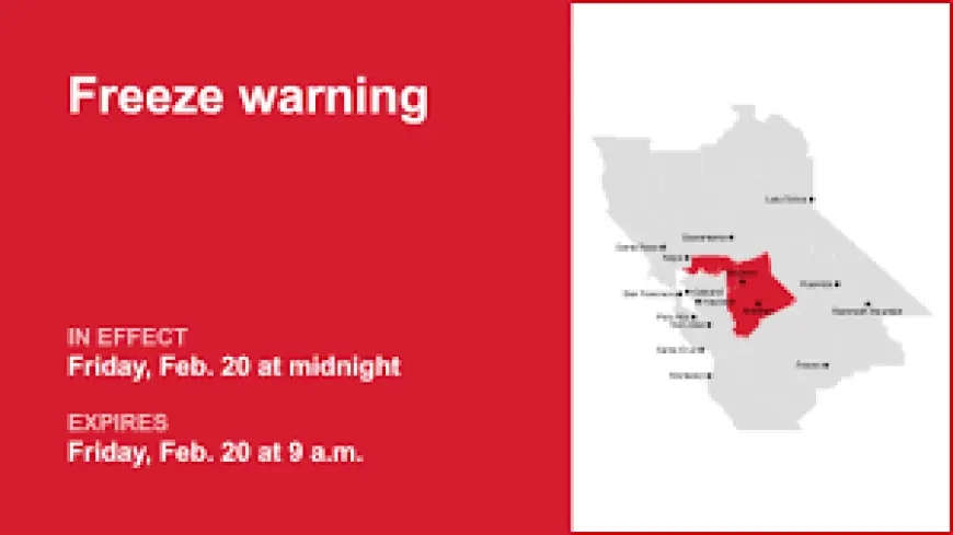
Emergency planners and growers were reminded Thursday that a formal freeze warning was released at 3: 16 p. m. ET and is set to remain in effect Friday, Feb. 20 from 3: 00 a. m. ET to 12: 00 p. m. ET. The NWS Sacramento CA said, "Sub-freezing temperatures of 28 to 32 degrees expected. " That narrow window of bitter overnight cold can be deadly for tender plants: officials warn that frost and freeze conditions could kill crops and other sensitive vegetation, and that there is little growers can do if plants cannot be moved indoors.
All enabled mobile phones in the affected area will receive emergency alerts for "considerable or catastrophic" hazards. Residents are urged to enroll in county alert systems and to enable Wireless Emergency Alerts on their phones to receive local messages. Local agencies have also reminded people who are unhoused or in need of warmth that winter shelters and warming locations are being activated in several counties, including programs in Santa Clara, Alameda, San Mateo, Contra Costa and Solano counties.
Cold weather advisory, record-low risk and climate concern
In addition to the targeted freeze warning, a broader cold weather advisory covers much of Northern California for Friday. Forecast models show a strong push of arctic air into the region, and some Bay Area cities could reach record low temperatures during the event. Climate scientists monitoring these extremes have flagged concern about the persistence of such anomalies: while a single cold episode does not define long-term trends, the juxtaposition of damaging cold snaps against broader warming patterns is complicating preparedness for agriculture and vulnerable populations.
The freeze warning emphasizes temperatures expected to dip into the high 20s to low 30s Fahrenheit, a range — 28 to 32 degrees — that can lead to rapid damage for citrus, late-season grapes, tender ornamentals and other sensitive crops. Officials noted that freeze warnings are sometimes issued outside the usual May-to-October window when conditions demand it, underscoring how volatile early-season cold can be for growers who have long since started new cycles.
Practical steps for residents during the freeze watch
Residents in the affected corridors should take straightforward precautions: bring sensitive potted plants indoors if possible; cover remaining outdoor vegetation with frost cloths or blankets; and drain or protect irrigation lines that could freeze. Farmers and gardeners should prioritize the most vulnerable stock and consider supplemental heat or water management where feasible, though the NWS warns that in many cases moving plants indoors is the only reliable protection.
Local authorities stressed that those relying on emergency warming centers or overnight programs should check with county services early Friday, as operations may change with demand and weather conditions. The combination of emergency alerts on cell phones and county-level outreach is intended to reach both homeowners and people experiencing homelessness with timely options to stay safe during the coldest hours.
With the freeze watch now in place and the freeze warning active for several low-lying Delta and valley corridors, officials urged prompt action to shield crops and people. The rapid onset of sub-freezing readings in the pre-dawn and morning hours is the immediate threat; the broader conversation among climate specialists about record-low events continues alongside emergency response planning for those on the ground.