


Fire weather watch, Red Flag warning put eastern Colorado on alert this weekend
Emergency managers and meteorologists are warning residents across eastern Colorado to prepare for critical fire weather conditions beginning Sunday. Strong gusty winds paired with unusually dry air and above-average temperatures will raise the potential for rapid wildfire growth, with heightened risk persisting into early next week.
What to expect this weekend
A Red Flag Warning will be in effect Sunday from 1 p. m. to 7 p. m. ET for portions of the eastern plains. Forecasts call for southwest wind gusts up to 40 mph and relative humidity values plunging into the low teens. Those conditions, combined with dry fuels across the plains, create an environment favorable for fast-moving wildfires.
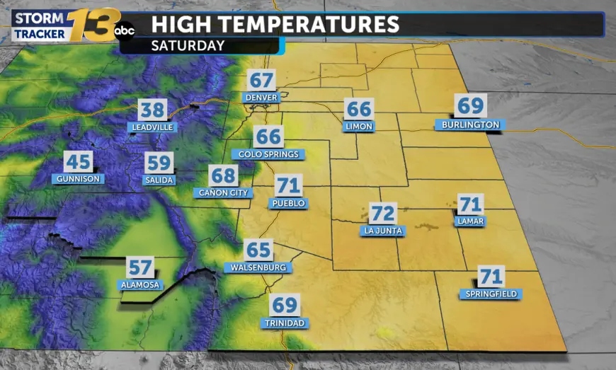
Temperatures are running well above seasonal norms in many locations. Some communities on the southern plains reached the 60s and 70s on Saturday, pushing close to or breaking seasonal records for early February. Stronger afternoon winds are expected to develop through the morning Saturday and into Sunday, with 20–30 mph gusts already noted in several counties on the high plains. The warm, dry air and gusty winds will also increase the potential for blowing dust and reduced visibility along major corridors.
Who is affected and what residents should do
The Red Flag Warning targets much of the eastern metro-adjacent plains and counties beyond the immediate Denver area, including extensive stretches of the I-76 corridor and counties to the northeast and east of the city. Travelers along I-70, I-76 and I-25 may encounter bouts of blowing dust and constrained visibility during the peak wind period Sunday afternoon.
Officials urge everyone in the warning area to take immediate precautions: avoid outdoor burning; postpone agricultural or debris burning; secure loose outdoor items that could be blown into roads or stoked by gusts; and refrain from using equipment that can produce sparks, such as chain saws, mowers, or other machinery under windy conditions. Homeowners in fire-prone zones should clear combustible material away from structures and have an evacuation plan in place should conditions deteriorate rapidly.
Smoky plumes from any ignition events could produce widespread air quality impacts downwind, so people with respiratory sensitivities should plan accordingly and monitor local advisories.
Outlook into early next week
Forecasters expect the period of critical fire weather to continue beyond Sunday and expand in coverage and intensity into early next week. By Tuesday, conditions could escalate into extreme fire weather across additional portions of the plains if low humidity and strong winds persist. The primary drivers are the combination of receptive fine fuels after a dry spell, anomalously warm temperatures for the season, and a prolonged pattern of gusty southwest winds.
Residents are advised to stay tuned to local weather updates and be ready to adjust plans. Authorities recommend keeping a battery-powered radio or another method of receiving emergency alerts if power or communications become disrupted by wind or smoke. Small actions—delaying planned burns, securing equipment, and exercising caution with vehicles and machinery—can markedly reduce the chance of human-started fires during this high-risk window.
Emergency responders will be on heightened alert, and travel could be impacted by sudden changes in visibility or debris on roadways. With conditions expected to remain volatile, preparedness and conservative behavior outdoors will be the most effective means of limiting wildfire starts while critical fire weather persists.