


UK braces for snow, ice and flooding as multiple warnings remain in force
Large areas of Britain are on alert as yellow warnings for snow and ice remain in place across much of Scotland and parts of England, while widespread flood warnings and alerts continue to affect river corridors in England. Authorities say travel disruption, hazardous surfaces and local inundation remain possible through the weekend.
Snow and ice threat across northern and higher ground
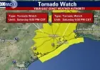
Yellow-level weather warnings for snow and ice cover a broad swathe from Derby northwards, extending over the majority of Scotland. Forecasters have cautioned that heavy snowfall and icy surfaces could bring significant travel delays and difficult driving conditions. Snow accumulations are expected to be modest at lower elevations, with 1–3 cm possible, rising to 3–7 cm above 150 metres and potentially 10–15 cm on ground higher than 400 metres.
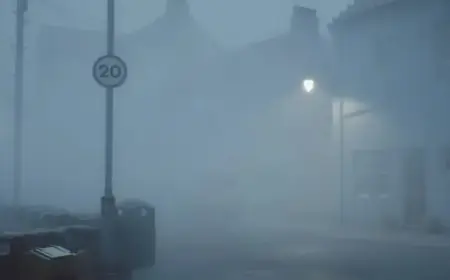
Ice will be an additional hazard, particularly across north-east England and parts of Scotland where precipitation falling onto frozen ground could generate very slippery conditions. A brief spell of freezing rain is possible in some locations before snow transitions to rain during Sunday morning ET and a gradual thaw begins.
Sunday will start blustery for many, with showery rain and some hill snow. Milder air is forecast to push into the south-west, with temperatures possibly reaching about 12C in parts of Cornwall and Devon, while eastern areas are likely to remain cooler, around 4C–5C.
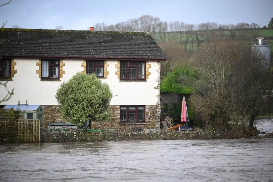
Flood warnings and local impacts
Flood risk remains significant in parts of England. The latest tallies show dozens of active flood warnings and many more alerts in effect across river and coastal areas. More than 24, 000 homes and businesses have been protected by defences and temporary measures, but roughly 330 properties have still been inundated amid the elevated river levels and surface-water runoff.
Authorities have urged people in affected areas to remain vigilant, heed local flood warnings, and avoid driving through standing water. Emergency teams continue to monitor river levels and support communities where defences are being deployed or where evacuations are needed to protect life and property.
Short-term outlook and travel advice
In the south-west, a separate yellow ice warning is in place from 12: 00 PM ET Friday until 5: 00 AM ET Saturday. That warning reflects the risk that rain and sleet will freeze on falling temperatures, producing icy patches on untreated roads, pavements and cycle routes and increasing the likelihood of slips and falls.
The coming week is expected to remain unsettled and blustery, with further showers nationwide through Monday and easing by Tuesday. Another weather system is anticipated on Wednesday, bringing additional unsettled conditions before a drier day is expected on Thursday.
Motorists are advised to allow extra journey time, expect slower public transport, and carry appropriate equipment if driving in snowy or icy conditions. Pedestrians should take care on untreated surfaces and avoid floodwater. Those in flood-prone areas are encouraged to review local guidance and make contingency plans for property protection and safe evacuation if required.