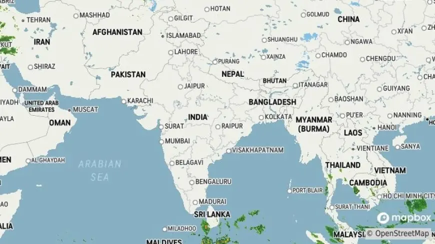
What's the weather today in india? Heat in Central Plains, Snow in High Himalaya

If you’ve been wondering the nation is seeing a sharp north–south contrast: daytime temperatures have climbed well above 30°C across parts of central India, while the western Himalaya remains locked in severe cold with fresh snowfall at high elevations. Forecasters expect western disturbances and a coastal depression to shape weather through mid-February.
Central India heats up: multiple cities cross 30°C
Daytime heat has jumped in several districts of Madhya Pradesh, Uttar Pradesh and Chhattisgarh. More than a dozen towns in Madhya Pradesh recorded daytime highs above 30°C on Friday. In Uttar Pradesh, Banda touched 31. 2°C and Prayagraj registered 30. 4°C. Chhattisgarh saw an uptick of 1–2°C in average temperatures over recent days, with Jagdalpur peaking at 32. 7°C in the latest 24-hour span. Nights remain cool in some hill pockets such as Pachmarhi and Khajuraho, keeping a wide diurnal range intact.
Rajasthan and western plains: clouds and spot rain likely
Parts of Rajasthan are under a chance of light rain or drizzle as cloud cover moves into the state. A temporary dip in minimum temperatures—locally by up to 4°C—was recorded where thin cloud reduced nocturnal cooling. Plains across Haryana and Punjab are also trending warmer, but a renewed western disturbance expected around Feb. 17 (ET) could trigger cloud build-up and isolated light showers over the northwest between Feb. 17–18 (ET), bringing brief relief and a modest fall in daytime temperatures in some pockets.
Western Himalaya: snow and bitter cold persist
The western Himalayan belt is experiencing active weather through Feb. 13–16 (ET) with two successive western disturbances. High-altitude sectors of Himachal Pradesh, Uttarakhand and Jammu & Kashmir are likely to see rain at lower elevations and snowfall higher up in the next 48 hours. Severe low temperatures persist: Munshiyari recorded about −26°C, Gangotri near −21°C and Badrinath around −19°C, while several hill stations reported minimums below −10°C. Mountain passes remain vulnerable — a major route linking Kashmir and Jammu remains closed with several feet of snow on the road.
Southern coast and island seas: circulation could deepen into heavy rain
A circulation over the Bay of Bengal is expected to intensify into a deeper low-pressure area, heightening the risk of heavy rain and gusty winds along southern coastal districts. Coastal Tamil Nadu and Kerala’s southern districts are most likely to see episodic heavy showers and squally conditions around Feb. 15–16 (ET). Fisherfolk and coastal communities are advised to heed local warnings and avoid venturing into rough seas while the system is active.
City outlook and practical advice
Capital and metro residents are already noticing an early thaw of winter chill, with sunny afternoons feeling markedly warmer than typical mid-February days. Morning fog and cold winds will persist in some inland pockets, but daytime warmth will make outerwear unnecessary in many urban centers. Travelers to hill regions should prepare for sudden weather changes, carry warm clothing and check road status before departure. Those in southern coastal districts should monitor local advisories as convective activity may bring heavy downpours and gusts over the coming 48 hours.
Overall, expect a split personality in the nation’s weather through mid-February (ET): warm, bright days over central and northern plains, intermittent clouds and rain over parts of the northwest and south, and continued snow and intense cold over the high Himalaya.


