


Newfoundland’s East and South Brace for Winter Storm Warning
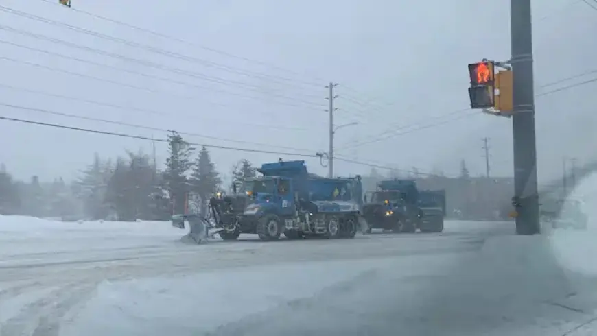
Newfoundland is preparing for another winter storm, with significant snowfall anticipated on Tuesday. A yellow winter storm warning has been issued by Environment Canada, affecting the eastern and southern regions of the province.
Forecast Details
Meteorologist Ashley Brauweiler from CBC N.L. reports that areas on the island may experience snowfall rates reaching five centimetres per hour. The expected accumulation of snow for the day ranges between 15 and 25 centimetres.
Snow Timing and Areas Affected
Snow is set to begin early Tuesday morning on the southwest coast. It will gradually move across Newfoundland throughout the day. Brauweiler noted that snowfall rates are predicted to increase significantly, particularly between 2 p.m. and 3 p.m.
- Avalon Peninsula
- Burin Peninsula
These regions are likely to receive the most snowfall. Between 2:00 p.m. and 7:00 p.m., snowfall could intensify, with two to five centimetres possible within an hour.
Wind Conditions
Winds are also a concern, as gusts may reach between 60 and 80 km/h on Tuesday. This will contribute to challenging weather conditions throughout the storm.
Weather Warnings in Labrador
In Labrador, cold weather warnings remain in effect. Areas like Labrador West through central Labrador are forecasted to endure wind chills as extreme as -40 to -46 degrees Celsius overnight on Monday.
Fortunately, these warnings are expected to be lifted by Tuesday, with temperatures anticipated to rise across Newfoundland in the upcoming days.
For real-time updates, residents can download the free Filmogaz.com app to receive alerts regarding this winter storm and other essential news.