


North Carolina winter storm risk shifts from “slippery roads” to “days without power” as ice hangs on into Monday
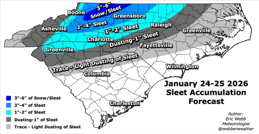
For much of North Carolina, the most dangerous part of this weekend’s winter storm isn’t the snowfall totals—it’s the ice. Freezing rain and sleet have been building a glaze that can snap limbs, drop power lines, and turn familiar routes into impassable sheets. With warnings continuing into early Monday afternoon, the state’s next 24 hours look less like a single storm event and more like a cascading disruption: worsening outages, delayed recovery, and an abrupt plunge into bitter cold just as many households may be relying on heat that needs electricity.
Ice first, then deep cold: why Monday can feel worse than Sunday
Sunday’s wintry mix is doing the damage; Monday’s temperatures can make that damage harder to live with. In many communities, precipitation eases before the problems do. Ice that doesn’t fully melt remains on trees and lines, and overnight refreezing can turn “improving” roads treacherous again—especially bridges and untreated side streets.
Outage tracking in the Duke Energy service area showed nearly 3,400 customers without power by 8:30 a.m. Sunday, with impacts concentrated in western North Carolina and expectations that the number would rise as icing increases. Across the broader storm footprint in the eastern U.S., power interruptions climbed into the hundreds of thousands on Sunday morning—an indicator of how quickly utility crews can be stretched when ice is widespread.
North Carolina’s statewide posture has already shifted into emergency mode. A state of emergency was declared on January 21 ahead of the storm’s arrival, and public messaging has emphasized staying off the roads, stocking essentials, and preparing for extended power loss.
A quick, practical checklist for the next 24 hours:
-
Keep phones and battery packs charging whenever power is available; reduce screen brightness to stretch battery life.
-
Set refrigerators and freezers colder now; avoid repeated door openings if power drops.
-
If you rely on medical devices, identify a backup location with power before conditions worsen.
-
Treat every downed line as live, and stay far from anything touching it (including branches and fencing).
-
If you must drive, assume untreated surfaces will refreeze overnight—even where temperatures briefly rise above 32°F.
Where conditions are worst now, and what “tomorrow” looks like by region
Warnings remain in place through early Monday afternoon across large parts of the Piedmont and western counties, with ice accumulation measured in tenths of an inch—enough to topple trees when layered on top of wind.
Raleigh and the Triangle
-
Sunday: Moderate icing and dangerous travel conditions, with the primary threat being ice loading on limbs and lines.
-
Monday (Jan. 26): Colder, drier air arrives with partial sunshine. High near 38°F, low near 14°F—a hard freeze that can keep residual ice in place.
Charlotte and the I-85 corridor
-
Sunday: Freezing rain and sleet remain the main hazard. Ice amounts in the quarter- to four-tenths-inch range are enough to trigger scattered to widespread outages depending on local tree cover.
-
Monday: Breezy early, then cold with clouds and sun. High near 40°F, low near 15°F—dangerous for anyone without reliable heat.
Greensboro and the Triad
-
Sunday: Very cold with sleet and freezing rain; a mix of snow and ice is possible, but ice remains the dominant threat.
-
Monday: Windy and sharply colder. High near 35°F, low near 3°F—cold severe enough to turn any outage into a life-safety concern.
Asheville and the mountains
-
Sunday: Rain can mix with ice early, with damaging icing still possible. Gusty winds add risk for falling limbs.
-
Monday: Very cold, with clearing later. High near 30°F, low near 7°F—conditions that can slow restoration work and intensify shelter needs.
Even where temperatures poke above freezing for a time, melting may be uneven. The pattern many residents will notice is “slush now, glass later,” as water runs and refreezes after sunset.
North Carolina’s winter storm storyline is now about resilience: whether roads stay passable for repair crews, whether ice loosens quickly enough to prevent a second round of outages, and whether vulnerable households can stay warm through the coldest nights that follow.