


Winter Storm Alert: U.S. Faces Weekend Snow and Ice Threat
A significant winter storm is expected to impact much of the United States this weekend. As it moves across the eastern regions, it will bring a mix of snow, sleet, and freezing rain. Meteorologists, including Alex Lamers from the Weather Prediction Center, describe this storm as “unusually impactful,” indicating that it could affect approximately half of the U.S. population.
Projected Impact Areas
The storm’s effects will vary across the country. Here’s a breakdown of the expected impact:
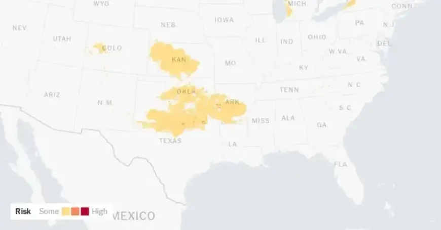
- Friday: The storm will emerge from the Southern Rockies, potentially bringing snow to New Mexico and Colorado. Winter storm warnings are already active in parts of Oklahoma.
- Saturday: The storm will expand, with freezing rain and sleet affecting Texas, Arkansas, and Tennessee, while snow will move into the Midwest.
- Sunday: The system will reach the Mid-Atlantic and Northeast, where it may intensify further.
- Monday and midweek: Bitterly cold temperatures are forecast to settle in across the eastern United States.
Types of Precipitation and Their Hazards
The storm will present various types of precipitation, each posing distinct risks:
- Freezing Rain: Accumulations could exceed half an inch, leading to significant damage to trees and power lines.
- Sleet: A few inches of sleet may create an impermeable layer on roads and sidewalks, complicating clearing efforts.
- Snow: Accumulations may exceed a foot in some areas, particularly in the Northeast.
Weather experts emphasize the storm’s complexity. Eric Fisher, chief meteorologist for WBZ-TV, highlights that freezing rain and sleet often cause more damage compared to snow alone. Forecasts are continuously updated due to the storm’s shifting trajectory and interaction with geographical features.
Future Weather Concerns
As the storm progresses, forecasters are closely monitoring potential impacts in urban areas like Nashville. Minor shifts in the storm’s path could mean the difference between manageable snowfall and a severe ice storm.
- Cobblestone Ice: A concerning phenomenon may occur if the precipitation transitions from freezing rain to sleet and then snow, leading to hazardous conditions.
- Cold-Air Damming: This weather feature could trap cold air against the Appalachians, increasing the likelihood of ice in regions such as Atlanta.
Once the winter storm concludes, a significant cold front will follow, causing temperatures to drop dangerously low. Many areas could remain below freezing for an extended period. The lingering cold will make recovery efforts more challenging as snow and ice persist on the ground.
People across the affected regions are urged to prepare for hazardous conditions as this winter storm approaches. Continuous updates from weather services will provide the latest information on the storm’s path and impacts.