


Blustery Winds Drop Temperatures in Las Vegas
Blustery Winds Drop Temperatures in Las Vegas as a strong wind event arrives Thursday. Filmogaz.com reports sustained gusts and a notable temperature decline by Friday.
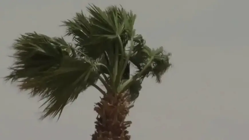
When the winds arrive
A Wind Advisory takes effect at 11:00 a.m. Thursday. It remains active until 5:00 a.m. Friday across Southern Nevada.
Forecasts call for southwest to northwest sustained winds of 15-25 mph. Gusts could reach up to 45 mph, and mountain speeds will be higher.
Timing and intensity
The cold front will approach just before midnight. The strongest winds are expected Thursday night into early Friday morning.
Sustained overnight winds near 15-25 mph are likely, with gusts around 45 mph. West and northwest valley locations may see slightly stronger gusts.
Temperatures and short-term outlook
Highs on Thursday should reach near 82 degrees in Las Vegas before the front moves through. Valley low temperatures Thursday night will drop to around 51 degrees.
Friday will be noticeably cooler, with afternoon readings falling about 10-12 degrees below Thursday. Edges of town may see low temperatures in the upper 40s.
River corridor and nearby towns
Gusty north winds will persist along the Colorado River. Wind gusts of 40-50 mph are expected near Bullhead City and Laughlin.
Precipitation chance and air quality
A slight chance exists for rain or mountain snow showers in northern Lincoln County. Most valley areas will stay dry during the wind event.
Air quality in the valley is rated from good to moderate for dust, ozone, and pollen. Common pollens currently include:
- Privet
- Mulberry
- Pine
- Ragweed
Weekend and extended forecast
High pressure builds this weekend, bringing warmer daytime readings. Expect upper 70s Saturday and mid 80s by Sunday.
Another windy, cooler pattern is possible next week. Forecast confidence remains limited for timing and strength of that next system.