


California Braces for ‘Super El Niño’ Risking Heavy Rain and Floods
Federal and international models now point toward a high-risk winter scenario for California. NOAA says outcomes range from near-neutral to a very strong El Niño, with key atmospheric signals during summer determining intensity.
Forecast outlook and probabilities
ECMWF ensemble runs show about half of models projecting Niño 3.4 sea surface temperatures above 4.5 °F over the October average. That threshold has been tied historically to so-called “super” events. NOAA places the probability at roughly 25 percent for the Niño 3.4 index to reach or exceed +3.6 °F.
Modelers single out sustained west wind anomalies over the equatorial Pacific this summer. Those anomalies will influence whether the event strengthens or remains moderate.
What experts say
Nathaniel Johnson of NOAA’s Geophysical Fluid Dynamics Laboratory says there is greater than 90 percent chance of El Niño development by fall. He adds about a 50 percent chance the event will be at least strong.
Jonathan O’Brien of the U.S. Forest Service calls “super El Niños” the peak of El Niño variability. He notes they cross specific ocean-warming thresholds and drive broad climate impacts.
Impacts likely in California
California braces for a season with elevated risks of heavy rain, floods and coastal damage if a strong event materializes. In southern California, strong El Niños often tilt odds toward wetter winters.
Those wetter conditions can refill water stores and reduce wildfire danger. Conversely, they can also trigger floods, debris flows and coastal erosion.
Historical precedents
State climatologist Michael Anderson recalled the 1982–83 storms that damaged coastal infrastructure. Among the impacts was the loss of a roughly 400-foot section of the Santa Monica pier.
NOAA and the California Coastal Commission link intense El Niños in 1982–83, 1997–98 and 2015–16 with major beach erosion. Some shorelines retreated by tens of meters during those events.
Regional differences and uncertainties
ECMWF specialists caution that spring forecasts carry higher uncertainty. The picture typically sharpens by late May or June.
In northern California, a very strong El Niño does not always mean an exceptionally wet winter. Other drivers, such as atmospheric rivers, shape rainfall outcomes.
How El Niño works and next steps
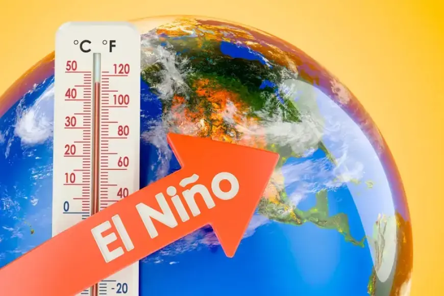
El Niño arises when trade winds weaken and warm Pacific waters shift eastward. This reshapes global temperature and precipitation patterns.
Officials emphasize ongoing monitoring to refine warnings and preparedness plans. Authorities will adjust flood and erosion alerts as new data arrive.
Reporting for Filmogaz.com.