


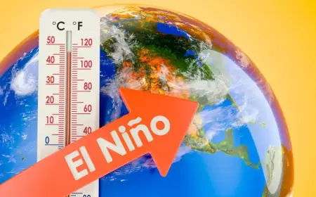


El Niño Approaches: La Niña Departs, Shifting Mexico’s Climate
New climate data on April 9, 2026, confirm La Niña has ended. ENSO has moved into a neutral phase. Models now show warming ahead in the equatorial Pacific.
ENSO update and timing
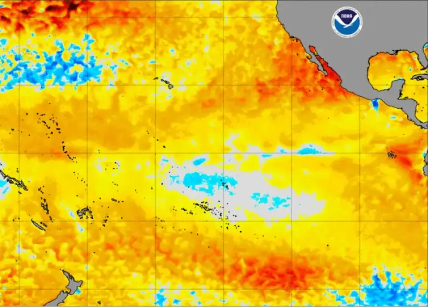
The Pacific Niño 3.4 anomaly sits near -0.2 °C. Forecasts indicate neutral conditions through spring. A subsurface pool of very warm water is rising toward the surface.
Forecasters place a return of El Niño possible in June or July. Strengthening is likely later in 2026. Analysts summarize this shift as “El Niño Approaches: La Niña Departs, Shifting Mexico’s Climate.”
Probabilities and intensity scenarios
Models assign chances by intensity. There is a 37% probability for a moderate El Niño. The odds are 27% for a strong event and 25% for a very strong or “super” El Niño.
Spring carries a 100% probability of ENSO neutrality. Sea surface temperatures should warm gradually across the central-eastern equatorial Pacific.
Spring outlook for Mexico
Spring will reflect remnant La Niña effects and neutral ENSO. Expect more frequent rains and fewer extreme heat episodes than in recent warm springs.
April may include a short heat pulse mid-month. Incoming cold fronts and polar air can break that warm spell and increase rainfall. The start of the rainy season may be wetter and cooler than normal.
Summer and cyclone season
The rainy season is expected to begin on schedule. May and June should see increased precipitation across much of Mexico.
The monsoon may activate early. Pacific cyclone formation could add moisture to the mainland. The Yucatán and the Gulf coast may receive relatively less rain.
A hotter and drier canícula remains possible. Lower activity in the Caribbean and Gulf could reduce humidity in central and southern zones.
Late summer, autumn and winter effects
If El Niño strengthens, rainfall is likely to rise late in summer. August and September may bring a marked increase in precipitation for most regions.
El Niño tends to amplify extremes. From October onward, the subtropical jet may transport more Pacific moisture into Mexico.
Frontal activity from September to May will continue as usual. Expect more frequent cold fronts and combined moisture that can produce cold spells and heavy snow at higher elevations.
Regional notes
- Northwest, north, northeast, west and central Mexico: higher chance of wetter, cooler episodes in winter.
- Southeast Mexico: likely to remain relatively less affected by the late-season cooling and heavy rains.
- Pacific basin: watch for increased cyclone activity and moisture contributions.
Practical advice
Do not assume every ENSO event produces the same impacts. Local outcomes depend on ocean-atmosphere coupling. Stay informed with official guidance.
Filmogaz.com will publish updates as models evolve. Prepare or update a family emergency plan and follow local civil protection advice.