


Urgent Heavy Snow Alert: Up to 48 Inches Predicted
The National Weather Service office in Sacramento issued a winter storm watch Wednesday for parts of the Northern Sierra Nevada. The alert covers mountainous terrain above 4,500 feet on the west slope and Western Plumas County.
Communities named in the advisory include Quincy, Chester and Blue Canyon. Officials issued an urgent heavy snow alert predicting up to 48 inches in some high-elevation locations.
Scope and timing
The storm is expected to begin Friday evening and continue through Sunday evening. The heaviest snow is forecast late Saturday morning into midday Sunday.
Gusty winds may reach 45 mph. Those winds could worsen conditions on exposed roads and high ridges.
Snow level trends
Snow levels are forecast to remain above mountain passes through Friday afternoon. They should drop to about 6,000 to 7,000 feet late Friday into Saturday.
By late Saturday into Sunday, snow levels may fall to roughly 4,000 to 4,500 feet. Light accumulations of 2 to 4 inches are possible at those lower elevations.
Forecast totals by elevation
| Elevation | Expected Snow |
|---|---|
| Around 4,000 feet | 2 to 4 inches |
| Above 4,500 feet | 1 to 2 feet |
| Highest peaks | 3 to 4 feet (up to 48 inches possible) |
Impacts and concerns
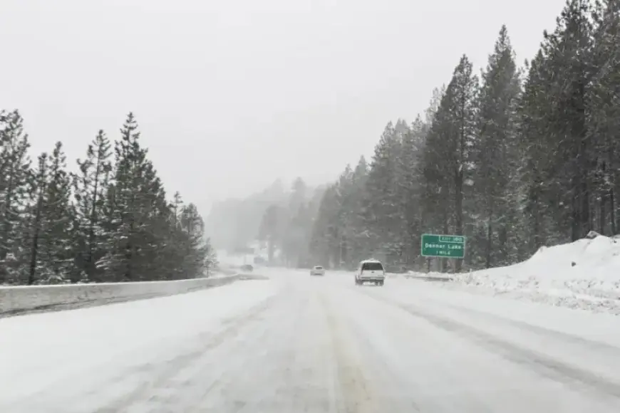
The watch warns travel could become very difficult or impossible. The Friday evening commute and weekend mountain travel face the highest risk.
The storm arrives after a season of limited high-elevation snowfall. A sudden increase in accumulation may help mountain snowpack but could strain local infrastructure.
Safety and guidance
- Monitor road conditions closely before travel.
- Check Caltrans at quickmap.dot.ca.gov or call 511 for updates.
- Avoid unnecessary trips during peak snowfall and high winds.
Watch versus warning
A winter storm watch signals favorable conditions for significant winter weather. Watches are typically issued 12 to 48 hours before expected impacts.
A winter storm warning means hazardous conditions are imminent or happening. Warnings usually arrive less than 24 hours before or during the event.
Filmogaz.com will provide updates as the forecast evolves and warnings are issued. Residents should prepare now and follow official guidance.