


Bay Area Rain and Sierra Nevada Snow Arrive with Cold Front
The Bay Area is bracing for a significant weather change as a cold front, originating from the Gulf of Alaska, is set to bring rain and snow to the region. Meteorologist Kennedy indicated that temperatures will drop, departing from the warmth of recent days.
Forecast for Rain and Snow
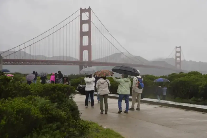
From Thursday to Friday, the Bay Area can expect varying levels of precipitation. Low-lying areas may receive approximately a quarter inch of rain, while higher elevations could see up to three-quarters of an inch.
Snow Pack Conditions
This cold front is anticipated to deliver vital snow to the Sierra Nevada, which currently holds only 18% of the average snowpack for this period. According to meteorologist Dakari Anderson, some of the highest peaks could accumulate up to 10 inches of fresh snow.
Weather Outlook
Despite the impending storm, forecasts suggest a return to above-average temperatures after the weekend. Anderson expressed some uncertainty regarding the duration of the cold spell but remains optimistic about the warmer conditions expected shortly.
- Conditions: Cold storm arriving from the Gulf of Alaska
- Rainfall: Up to 0.75 inches in higher areas, 0.25 inches in low-lying regions
- Snow accumulation: Potentially 10 inches on the highest peaks
- Current snowpack: 18% of normal levels
- Forecast: Above-average temperatures expected after the cold snap
For those who enjoy rainy weather, this upcoming change may be welcomed as the region prepares for a transition to cooler, wetter conditions. Stay tuned to Filmogaz.com for ongoing updates on weather patterns affecting the Bay Area and Sierra Nevada.