


Strong Winds, Dust, and Potential Showers in First Alert Forecast
Tucson begins Sunday mostly dry with mild temperatures and hazy skies. Clouds will increase through the day as moisture moves in.
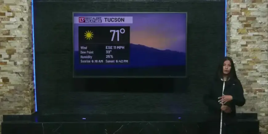
Overview
Isolated showers and a few dry thunderstorms are possible this afternoon. Forecasters expect gusty winds that could reach 40 mph.
Those gusts may lift dust and briefly reduce visibility. The Arizona Department of Environmental Quality forecasts a moderate Air Quality Index this afternoon.
Impacts and timing
Winds and dust
This First Alert Forecast highlights strong winds across the region. Gusts up to 40 mph could create areas of blowing dust.
Drivers should be prepared for brief visibility reductions in spots. Outdoor activities may be affected.
Showers and thunderstorms
Rain chances are low but present. Expect isolated showers and a few dry thunderstorms late afternoon and evening.
Rain chances increase on Monday, then drop again by Wednesday. Late week will trend drier with more sun.
7-Day Forecast
| Day | Forecast | High / Low (°F) | Chance of Precip. |
|---|---|---|---|
| Today (Sunday) | Mostly sunny early, then chance of dry thunderstorms late afternoon and evening. | High near 93 | 30% |
| Tonight | Mostly cloudy. Low chance of showers and thunderstorms. | Low around 64 | 30% |
| Monday | Partly sunny with chances for rain and thunderstorms. | High around 90 | 30% |
| Monday Night | Showers and thunderstorms ending. Mostly cloudy. | Low around 62 | 40% |
| Tuesday | Partly sunny. | High near 89 | — |
| Tuesday Night | Mostly cloudy. | Low around 61 | — |
| Wednesday | Partly sunny. Smaller chance for rain. | High near 83 | 10% |
| Wednesday Night | Partly cloudy. | Low around 55 | — |
| Thursday | Mostly sunny as drier air moves in. | High near 85 | — |
| Thursday Night | Mostly clear. | Low near 55 | — |
| Friday | Sunny. | High near 85 | — |
| Friday Night | Mostly clear. | Low near 54 | — |
| Saturday | Sunny. | High near 86 | — |
Filmogaz.com will continue monitoring conditions. Expect changes as storms evolve through the week.