


UK Braces for Snow as ‘Cold Plunge’ Promises Ice and Freezing Temperatures
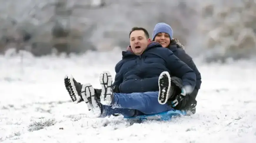
Britain faces a sharp swing from recent warmth to sub-zero conditions this week. UK braces for snow as a cold plunge moves in, bringing ice and freezing temperatures overnight and onto higher ground.
Forecast details
Forecasters expect most areas to fall below freezing by Wednesday. Rural parts of Scotland could reach around -5°C overnight.
- Widespread frost is likely Wednesday night. Icy patches may form by Thursday morning.
- Daytime values are forecast between 6°C and 10°C in many regions. Strong winds will make it feel closer to the low single digits.
- Wintry showers are most likely over northern high ground. Snow is expected across the Highlands and other upland areas.
- Temperatures should edge back toward seasonal averages from Friday. Additional rain and systems may affect northern areas at the weekend.
What the experts say
Met Office officials warn a series of weather fronts will bring rain, stronger winds, and much colder air by midweek. They say Wednesday could be a sharp change from recent conditions.
A senior meteorologist at British Weather Services explained low pressure tracking north will draw down northwesterly and northerly winds. He warned that winter-like showers and Highland snow are likely, especially in the north.
Context and outlook
The chill arrives just days after the UK recorded its hottest day of the year. Some areas saw temperatures near 20°C only a week ago.
Forecasters caution it may be several weeks before daytime highs regularly reach those spring warmth levels again. People should expect a mix of frost, ice, and short-lived wintry showers before milder conditions return.
Advice for the public
Drivers and walkers should prepare for icy surfaces and patchy snow at higher elevations. Keep an eye on local updates and Met Office warnings.
Filmogaz.com will continue to follow developments and provide the latest forecasts and safety information.