


Heavy Snow Squalls in Northern Ontario Trigger Hazardous Travel; Sudbury Watch Ended
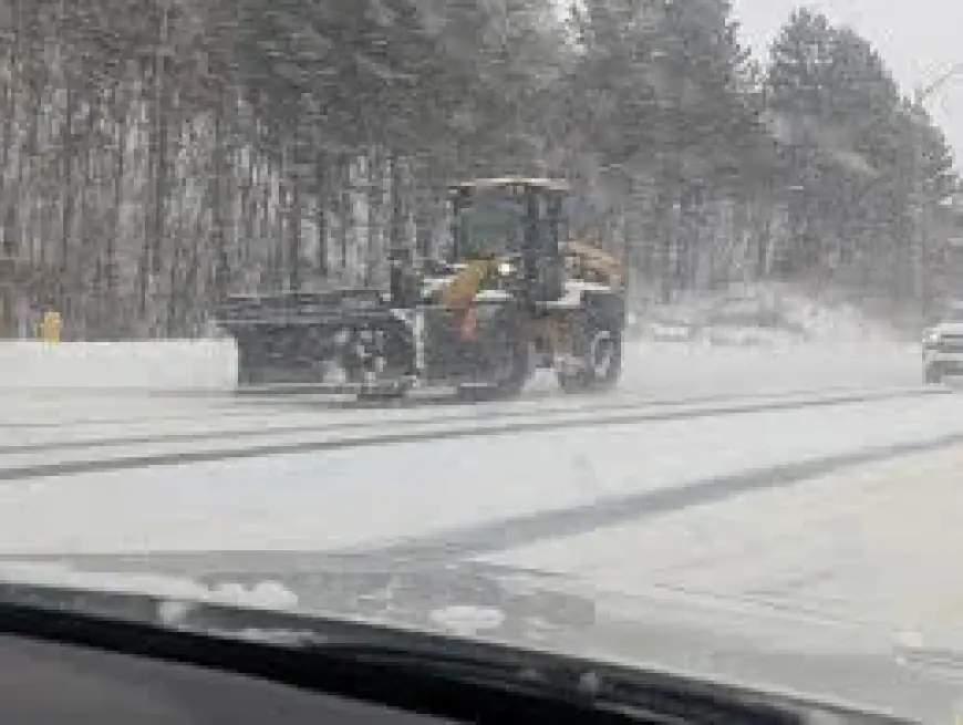
Environment Canada has ended a yellow-level watch for snow squalls in the Greater Sudbury area even as parts of northern Ontario remain at risk of more heavy snow this evening, with brief, intense bursts expected to reduce visibility and create hazardous travel conditions.
Heavy Snow Watch Lifted For Sudbury, Freezing Drizzle Advisory Ended
In its latest update on the late-winter storm that struck the region this week, Environment Canada ended the yellow-level watch that warned snow squalls were on the way this evening for the Greater Sudbury area. An earlier forecast advisory for widespread freezing drizzle for Greater Sudbury and area, Espanola and Killarney, and Manitoulin Island was also ended.
The watch had advised that brief, intense snowfall was expected to develop and that visibility could be significantly reduced by heavy snow combined with blowing snow. Forecast snowfall amounts of between two and five centimetres were possible, with northwesterly wind gusts reaching 60 km/h.
Intense Local Snowsqualls Likely This Evening
A separate forecast for parts of northern Ontario calls for a short-lived but high-impact blast of winter weather this evening. Local snowfall totals of 2 to 5 centimetres are expected, accompanied by wind gusts up to 60 km/h. A sharp cold front is expected to move across the area this evening and may bring a brief burst of heavy snow and blowing snow along with rapidly falling temperatures in its wake.
Under the snow squall, visibility may be suddenly reduced to near zero at times. Travel may be hazardous, with conditions changing quickly and deteriorating without much warning.
Impacts For Drivers And Residents
Forecasters advise preparing for quickly changing travel conditions and the possibility of sudden whiteout conditions where heavy snow combines with strong winds. Motorists should be aware that:
- Snow accumulation of 2–5 centimetres is possible in affected areas;
- Northwesterly wind gusts can reach about 60 km/h, increasing blowing snow;
- Visibility may fall to near zero during brief squalls, creating hazardous travel.
Those in the affected regions are advised to monitor alerts and forecasts issued by Environment Canada and be ready for rapidly changing conditions. The situation remains dynamic; any further updates will clarify where squalls develop and how long impacts persist.
The region will see temperatures drop behind the front, which could prolong difficult travel conditions as falling temperatures follow the brief bursts of heavy snow.


