


Wind Advisory and Severe Weather Alert: Chicago Weather Today Is a Three-Act Storm — Sunday, March 15, 2026
Chicago weather today is running in three dangerous phases, and local weather is still unfolding right now. A wind advisory is active across multiple counties, thunderstorms are firing this morning, and snow is locked in for overnight. Residents need to know what is coming and when.
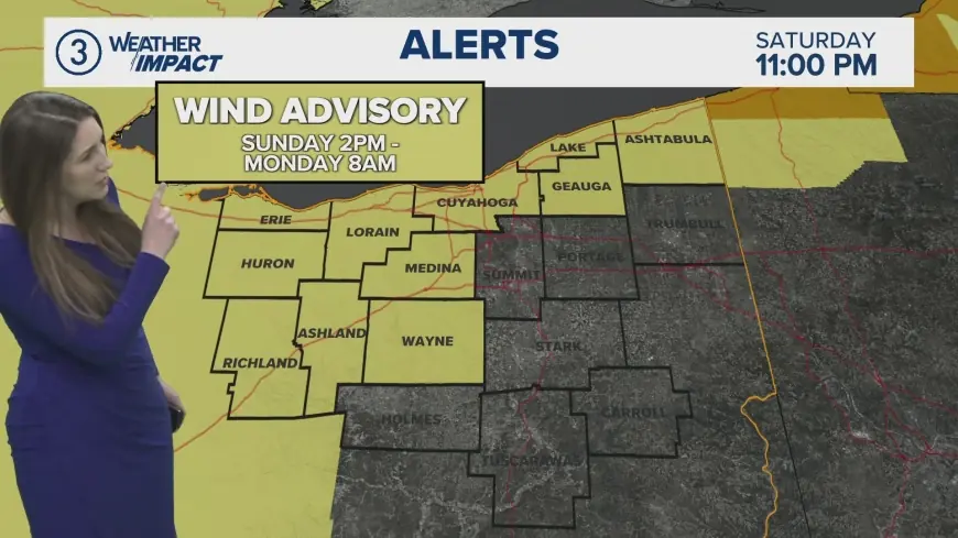
Wind Advisory in Effect Right Now Across Chicago Area
A wind advisory is in effect from 1 PM ET this afternoon to 9 PM ET this evening for Central Cook, DuPage, Kane, Kendall, Lake IL, and Northern Cook Counties. Sustained southerly winds of 20 to 25 mph are expected, with gusts reaching up to 50 mph. Gusty winds will blow around unsecured objects, and tree limbs could come down with a few power outages possible. Winds this strong can make driving difficult, especially for high-profile vehicles on west-to-east roadways.
A high wind watch is separately in effect for Kankakee County and Northwest Indiana from 10 AM ET until 9 PM ET, with gusts potentially reaching 60 mph in those zones. Secure any outdoor furniture, decorations, or loose items before heading outside today.
Today Weather Chicago: Three Rounds of Storms in One Day
A first round of thunderstorms is expected between 9 AM and noon ET, with storms weakening as they push into the city proper. A second, more dangerous line of storms moves in from 4 PM to 9 PM ET, and the primary concern during that window is damaging wind gusts.
High temperatures today will reach the upper 50s to near 59°F, with breezy south winds at 15 to 25 mph and gusts up to 40 mph throughout the afternoon. Rain chances today are at 80 percent. The evening push is the most hazardous window of the entire day for severe weather.
Most of the Chicago area is under a Level 1 or Level 2 risk of severe weather on Sunday. There is a small risk of tornadoes, mainly south and east of the city. Between 10 AM and 1 PM ET, the main concerns are small hail and gusty winds.
Chicago Weather Flips to Snow Overnight — Local Weather Impact Monday
A third round of storms arrives around 1 AM ET Monday, transitioning from rain to snow and continuing through the Monday morning commute until approximately 10 AM ET. One to four inches of snow is possible from those Monday morning snow showers.
Overnight lows drop to 24°F. By Monday, northwest winds at 25 to 35 mph will push wind chills dangerously low. Monday will represent one of the sharpest temperature reversals Chicago has seen this season — from near 60°F Sunday afternoon to the mid-20s by Monday morning.
Major travel disruptions are likely from Sunday night through Monday on roads and at airports. If the storm shifts slightly southeast, some areas could see blizzard conditions with a foot or more of snow northwest of the city.
Chicago Weather 7-Day Snapshot
| Day | High/Low | Conditions |
|---|---|---|
| Sun 3/15 | 59° / 24°F | Thunderstorms, wind advisory, snow overnight |
| Mon 3/16 | 27° / 23°F | Snow showers, dangerous wind chills near -10°F |
| Tue 3/17 | 37° / 32°F | Cloudy, possible rain and snow mix |
| Wed 3/18 | 43° / 28°F | Mostly sunny |
| Thu 3/19 | 51° / 36°F | Mostly cloudy |
What to Do Right Now for Local Weather Safety
Bring in all unsecured outdoor items before 1 PM ET. Avoid driving high-profile vehicles on east-west roadways during peak wind hours between 1 PM and 9 PM ET today. Charge phones and backup batteries now before the evening storm line arrives.
ComEd worked around the clock earlier this week after more than 27,000 customers lost power from an EF3 tornado. Crews had already restored power to more than 55,000 customers during Friday's separate high wind warning event. A second round of widespread outages is possible again tonight. Monitor your local weather alerts through the National Weather Service Chicago office for any upgraded watches or warnings as today's storm system evolves.


