


Minneapolis Weather: Blizzard warnings expand as heavy snow moves in
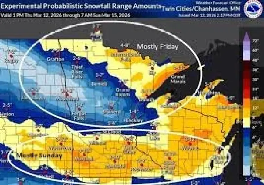
minneapolis weather is being shaped by an impactful winter storm expected to bring hazardous travel from this evening through Friday morning’s commute, with heavy snow, strong winds, and possible blizzard conditions focused along the North Shore. Blizzard warnings have been extended into the Twin Ports, signaling a wider corridor of dangerous visibility and drifting risks as the system ramps up later today.
Blizzard warnings reach Twin Ports
A 12: 30 pm update stated that blizzard warnings have been extended into the Twin Ports, adding urgency to preparations as the storm’s most disruptive period approaches. Numerous winter storm warnings and blizzard warnings remain in effect until tomorrow afternoon, framing a long window of potential impacts rather than a brief overnight burst. The pattern suggests that forecasters are responding to a storm that is both expanding in footprint and aligning the key ingredients—snow and wind—during peak travel hours.
North Shore snow peaks 6 pm–12 am
Conditions are expected to stay calm until 3 pm, with high pressure over the Northland supporting widespread sunshine early before clouds rapidly increase by mid-afternoon. Winds are forecast to build out of the southeast at 10–20 mph with gusts up to 35 mph, while highs reach the low to mid 30s. Snow is expected to develop from the southwest and spread northeast during the late afternoon, then intensify in the evening. The heaviest snow is expected between 6: 00 pm and 12: 00 am ET, with snowfall rates up to 1–2 inches per hour, especially along the North Shore, alongside east winds of 15–25 mph gusting up to 45 mph.
Those timing details matter because they concentrate the worst conditions into the evening hours and carry them into the early part of Friday’s commute window, a combination that tends to amplify the travel hazard even when totals are still accumulating. Still, the forecast also outlines a sharp north-to-south gradient in impacts: south of MN-210, rain or dry air may mix with the snow at times, lowering totals farther south. As a result, less impact is expected farther down the I-35 and US-53 corridors than in areas closer to Lake Superior and the higher terrain that can enhance snowfall.
US-2 corridor could top a foot
Accumulations are projected to be highest along and north of US-2, with the greatest totals closer to Lake Superior due to terrain and lake enhancement. The forecast indicates there is a “good bet” that some totals over a foot will occur across the North Shore, which helps explain why blizzard conditions are being highlighted there even as other corridors may see reduced totals from mixing. The figures point to a storm where intensity—not just duration—drives risk: 1–2 inches per hour combined with gusts up to 45 mph can rapidly degrade visibility and create drifting, even before the full event total is reached.
By Friday, snow is expected to taper from northwest to southeast as the system exits, while the South Shore hangs on to snow the longest with lake and terrain enhancement. Winds are forecast to turn northwest and stay breezy with gusts up to 20–25 mph, while highs only reach the 20s. That shift implies that travel issues may not end when the steadiest snow eases, since lingering blowing snow and continued breeziness can keep roads difficult in the hardest-hit zones.
Looking beyond the main storm, Saturday is expected to be dry with mostly cloudy skies and highs in the 20s, though a few flurries are being watched from the south or off the lake. A separate weekend system is also being monitored to possibly graze the region with some snow Saturday night into Sunday, but the track remains uncertain and it is too far out to determine totals; confidence is increasing that most of the Northland will not see significant totals. For minneapolis weather, the open question is whether the weekend system’s track shifts enough to bring more than a grazing impact, or whether breezy conditions end up being the main feature.


