


Updated Snow Forecast: Likely Accumulation Areas in Portland and Region
A significant cold front is set to impact the Pacific Northwest, particularly Portland and its surrounding areas. Starting Monday morning, increased showers will occur as snow levels drop, leading to travel complications in higher elevations.
Snow Forecast for Portland and Surrounding Regions
Snow levels are projected to plummet to between 1,000 and 1,500 feet overnight Sunday into Monday. By Monday night, levels are expected to fall further to around 500 feet, triggering snow accumulation in areas above 500 feet.
Travel Impact in Cascade Passes
The Cascade Passes are likely to experience the most significant effects. Expected snowfall totals from Monday morning to Tuesday afternoon include:
- 4 to 10 inches in the Cascade passes
- Up to 12 inches at elevations above 5,000 feet in the south Washington and north Oregon Cascades
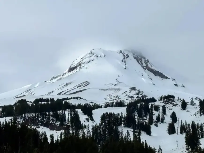
Mount Hood and Highway 26 near Government Camp are predicted to see the highest snow totals. Travel conditions may prove hazardous in these mountain regions.
Conditions Below 500 Feet
In contrast, areas below 500 feet, including the Willamette Valley and the Portland metro area, will primarily experience rain or a mix of rain and snow. The likelihood of measurable snow accumulation in these lower elevations is minimal, with models showing only a 1% to 5% chance of exceeding 0.1 inches.
Earlier projections had indicated a 30% to 50% chance for similar accumulation in the metro area overnight on Monday into Tuesday. Any snow that does occur at these lower elevations is expected to melt upon reaching the ground.
Additional Snow in North Oregon Coast Range
Highway 26 in the north Oregon Coast Range may see minor accumulations, with a dusting of wet snow expected. Between 1 and 2 inches of snowfall is forecast for elevations above 1,500 to 2,000 feet by 5 p.m. on Tuesday.
Motorists should remain cautious as roads may become slick, particularly during periods when temperatures drop overnight.
Upcoming Weather Patterns
From Wednesday through Friday, the region will prepare for a wetter and breezier forecast due to the approach of a moderate atmospheric river. However, forecasts suggest a 90% to 95% chance that river flooding will not occur.
Residents should stay informed about weather updates as conditions evolve, particularly in relation to travel impacts from the snow and rain expected in the coming days.


