


Chilly 29°C Predicted Before Major Warm-Up This Spring Break Week
Spring break in Quebec is set to begin and end with notably warm days, but a harsh cold spell lies in between. On Saturday, temperatures are expected to rise above freezing across the province, except for the Lower North Shore. However, a significant drop in temperatures is anticipated later in the afternoon, with gradual warming projected mid-week.
Predictions of Cold Weather in Quebec
Environment Canada warns that a powerful cold front from James Bay will lead to severe temperature declines. Warning systems are already in place for areas like Abitibi-Témiscamingue and Saguenay–Lac-Saint-Jean, where chilly conditions may be experienced. Rain is forecasted for southern Quebec on Saturday, expected to transition to snow by the afternoon.
Temperature Forecast
- Saturday: Above freezing in most areas except the Lower North Shore.
- Sunday: Forecasted temperatures drop below seasonal norms.
- Monday Morning: Expected lows of -20°C to -30°C in Abitibi-Témiscamingue and Saguenay–Lac-Saint-Jean.
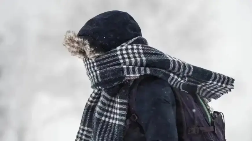
Meteorologist Julien H. Pellerin notes that the biting cold is likely to dominate the early days of the spring break week. He advises dressing warmly for outdoor activities, as warnings may be issued for areas along the Saguenay–Lac-Saint-Jean and the St. Lawrence Valley, including Montreal and Trois-Rivières.
Upcoming Warm-Up
Temperatures are expected to gradually return to normal levels throughout the week. Although the initial cold snap will ease, it will still remain below average. Snow accumulation is likely early in the week, with up to 5 centimeters expected in the southern parts of the province by Monday and again on Friday.
Precipitation and Possible Travel Difficulties
Travelers should be cautious on Sunday, as early morning freezing rain could complicate travel conditions. As spring break concludes, temperatures may rise above freezing and could potentially reach 10°C to 12°C by the following weekend, leading to a shift in the weather pattern.
Extended Forecast
Despite the expected warm-up, some colder days are anticipated before stable spring weather arrives. According to MétéoMédia’s Patrick de Bellefeuille, temperature averages will fluctuate, indicating both significant cold and warm days. Increased precipitation is also expected over the next few weeks, particularly as March progresses into April.
- March: Expected to see snow.
- April: Anticipated rainfall, with occasional late-season snow.
The prolonged winter has resulted in thick ice coverage on rivers, suggesting potential blockages during thawing. Thus, continued vigilance is recommended. Stay tuned for further updates on this evolving weather situation at Filmogaz.com.