


Cincinnati Weather: Light Snow and Wintry Mix Expected for Thursday Morning Commute
A quick-moving system will push cold air into the region and bring a chance of light snow and a wintry mix during the Thursday morning commute, prompting a First Alert Weather Day. Cincinnati weather will be notable for brief but potentially disruptive impacts: total accumulation should be minimal—about a half inch or less for most—but timing could reduce visibility and create slippery spots on roads.
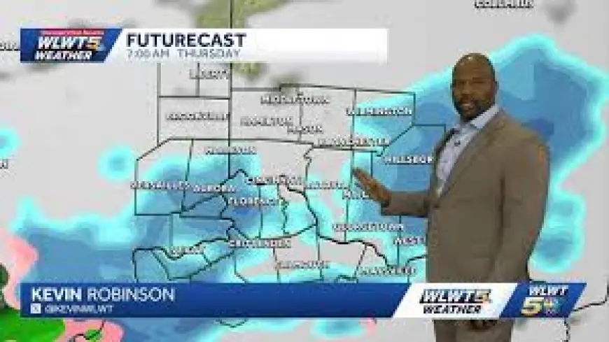
Cincinnati Weather: Thursday morning commute impacts
The main impact window is centered on the Thursday morning rush. Temperatures are forecast to fall to around 30 degrees by daybreak, enabling wet road surfaces to freeze in patches where precipitation mixes with colder air. The FOX19 NOW Weather Team cautions that reduced visibility and localized slippery sections could slow drive times, even though total snowfall is expected to remain low.
Accumulation is expected to be a half inch or less for most locations, and any snow that does fall is likely to be short-lived. The meteorological setup is a compact one: precipitation develops quickly ahead of the colder air and then winds are expected to shift to the south, which will halt wintry precipitation and allow for a rapid warm-up.
FOX19 NOW Weather Team timeline and temperature swing
The FOX19 NOW Weather Team has outlined a fast transition through Thursday. Rain and snow will continue to develop during the pre-dawn and morning hours, creating slow and slippery conditions for the commute. The winter weather should end quickly, with the region drying out by lunchtime. Observers can expect the episode to last only a couple of hours in most spots before winds veer south and temperatures rebound.
Temperatures should warm back into the vicinity of 50 degrees by the afternoon, a roughly 20-degree swing from morning lows near 30. That rapid change underscores the brief nature of the event: cold air will produce the wintry mix in the morning, then the shift in wind and warmer air will stop accumulation and clear roadways later in the day.
Weekend outlook and early next week watch
After the brief Thursday episode, a couple of milder, springlike days are expected in its wake. Friday and Saturday are forecast to be partly cloudy with highs in the mid-50s, and Sunday should be slightly cooler but remain dry. Forecasters are already monitoring another system that could return wintry conditions early next week; a few snowflakes are possible as early as Sunday night into Monday, warranting continued attention to changing conditions.
The practical effect for commuters and planners is straightforward: the immediate threat is concentrated and measurable—roughly a half inch or less and only a couple of hours long—but it coincides with a time of day when even light precipitation can magnify travel delays. Drivers are urged to take care during the morning commute and allow extra time where visibility or surface conditions are compromised.
What makes this notable is the timing: a brief, low-accumulation event arriving during the busy morning window can create outsized disruption despite modest totals. Keeping an eye on conditions through the morning and being prepared for rapidly changing temperatures will help reduce risk until the region dries out by midday and temperatures climb toward the 50s.