


Boston Weather: Storm Maps Show Rain, Sleet and Snow Friday as Nor'easter Threatens 'Blizzard-Like' Conditions
Boston Weather is gearing up for back-to-back impacts: a winter storm arriving Friday afternoon that will bring freezing rain, sleet, a wintry mix and later plain snow to parts of New England, and a stronger nor'easter expected late Sunday into Monday that could produce blizzard-like conditions in parts of Massachusetts. These systems will affect precipitation type, accumulations and travel at different times and in different places.
Boston Weather: Friday storm setup and expected impacts
The Friday system will intensify through the afternoon and evening, producing a mix of cold rain and wintry precipitation that could make road conditions precarious before tapering overnight. The pattern includes an initial warm front stretching east across the region ahead of the storm’s core and the potential for a secondary low to form over the ocean that may boost precipitation at times.
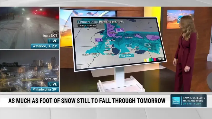
Southern New England should begin with a wintry mix and cold rain, especially along the coast, including Boston and areas south of the Mass Pike. The rain-snow line is expected to shift southward Friday evening into the night, at which point snow accumulation becomes possible. Forecast accumulations provided for the Friday event include a modest band for the Boston area.
- 6 to 8 inches: central portions of Vermont and New Hampshire and parts of western Maine.
- 3 to 6 inches: areas north of Route 2 and north of Boston, including northern parts of the Berkshires and several northern cities.
- 1 to 3 inches: Greater Boston, the South Shore to about Scituate, Worcester and Springfield; northern Rhode Island and Connecticut.
- Coating to 1 inch: parts of the South Shore, and select coastal and island locations.
- Rain or wintry mix: the entire southern coast of New England, including most of the Cape and the islands.
One compilation of projections has Boston totaling between 1 and 3 inches of snow by noon Saturday, with higher amounts north of the city. Road conditions will likely be iffy during the evening commute as precipitation intensifies.
Nor'easter threat late Sunday into Monday — which spots will be hardest hit?
A separate nor'easter is expected to approach late Sunday and continue into Monday, with an evolving forecast that has shifted closer to the state in recent model guidance. This storm carries a greater risk for heavy snow, strong winds and coastal impacts in southeastern sections of Massachusetts.
The Cape and Islands, along with the South Coast and South Shore, are expected to be hardest hit by heavy snowfall; more than a foot will be possible in those southeastern areas. For Boston, the chance of receiving 6 inches or more of snow is viewed as realistic by operational forecasters, and one projection places the Boston-area total in the mid-single digits while indicating a foot or more farther southeast.
Winds are expected to be strong in the event, with gusts reaching the 40 to 50 mph range in many locations and widespread 50-plus mph gusts increasingly likely on Cape Cod and the Islands. Blowing snow combined with heavy snowfall in exposed locations could produce blizzard-like visibility at times, and the Monday morning commute is likely to be slow where the heaviest snow and gusty winds coincide. The heaviest snowfall is forecast to peak Monday morning before tapering later in the day.
Travel, coastal and marine hazards to watch
Watches have been issued for the Cape, Islands and South Coast for the nor'easter, and those advisories could expand to include more of eastern Massachusetts if the storm shifts northwest. High Wind Watches are in place for the Cape and Islands, and Storm Watches cover coastal waters.
- Whiteout and treacherous travel: whiteout conditions are possible at times and could make travel life-threatening in the hardest-hit coastal and island locations.
- Damaging winds and outages: damaging gusts could bring down trees and power lines, creating the potential for outages.
- Marine hazards: seas could build to very large heights offshore, with hazardous waves able to capsize or damage vessels and sharply reduce visibility; mariners are advised to consider remaining in port, seeking safe harbor, altering course, or securing vessels for severe wind and seas.
Forecasts remain subject to change as the systems evolve. Recent model shifts have already altered the projected tracks and impacts; details may continue to evolve through the weekend, and residents should monitor the latest briefings and preparedness guidance as the events approach.