


Heavy Snow Expected as Winter Storm Hits Overnight Sunday
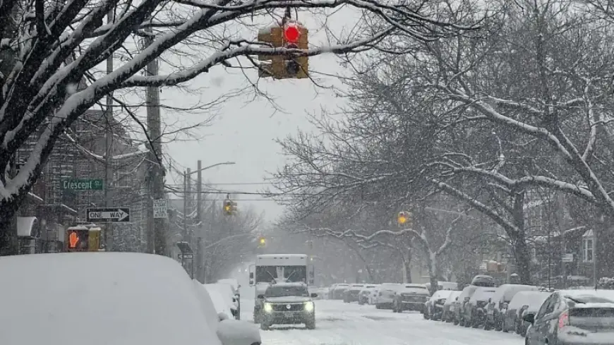
A winter storm is forecasted to impact New York City, dumping between 6 to 10 inches of snow from Sunday night into Monday. The National Weather Service has issued a Winter Storm Watch for all five boroughs, effective from Sunday at 6 a.m. until Monday at 6 p.m.
Storm Details and Timing
The heaviest snowfall is anticipated between 11 p.m. on Sunday and noon on Monday. Prior to this, light snow is expected to begin during Sunday daytime, leading to slushy conditions on roads and sidewalks. An accumulation of approximately 2 inches may occur before 8 p.m. on Sunday.
Additional Weather Conditions
Along with the snowfall, residents may experience moderate coastal flooding and wind gusts reaching up to 40 mph. These conditions are likely to create slippery roadways, which could hinder travel. Moreover, flight operations at New York City airports may also be disrupted due to the storm.
Historical Context
This winter event follows a significant storm from late January, which recorded nearly a foot of snow across the city. This marked the most substantial snowfall New York City had experienced in almost five years.
Key Alerts and Precautions
- Winter Storm Watch: From Sunday 6 a.m. to Monday 6 p.m.
- Snow Accumulation: 6 to 10 inches expected.
- Heavy Snowfall Forecast: Between 11 p.m. Sunday and noon Monday.
- Wind Gusts: Up to 40 mph.
- Coastal Flooding: Moderate risk anticipated.
Residents are advised to prepare for adverse travel conditions and stay updated with local weather forecasts as the storm progresses. Stay safe as the winter storm approaches New York City.