


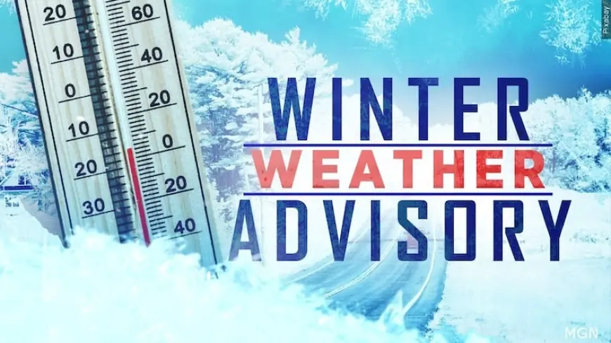
Winter weather advisory: Plowable snow to hit parts of Maine Friday night after sunny Thursday
Sunshine and mild temperatures Thursday will be a short-lived reprieve before a round of plowable snow moves into Maine late Friday into Saturday. The first half of Friday is expected to be quiet for travel, but the evening commute will face the brunt of the storm as snowfall becomes heavy at times across portions of the state.
Thursday: a mild, sunny window before the storm
Thursday will be the pick of the week. Expect a lot of sunshine with highs in the mid-to-upper 30s, approaching 40 degrees in some inland areas (all times ET). A weak sea breeze may develop by the afternoon, keeping coastal communities a bit cooler and allowing only modest snowmelt along the shoreline. That mild stretch offers a narrow opportunity for outdoor errands and any lingering snow cleanup before conditions change.
Friday night into Saturday: timing, totals and travel impacts
Snow will begin late Friday afternoon and into the evening (ET), then continue through Saturday morning. The precipitation will arrive in time to affect the evening commute on Friday; travel during the morning commute is expected to be free of weather-related delays, but conditions will deteriorate quickly later in the day.
Early in the event the snow is likely to come in heavy at times, which will hinder visibility and slow down roadways. The majority of the snowfall should move out by daybreak Saturday (ET), and skies will try to clear later Saturday with some improvement and returning sunshine in the afternoon.
Forecast accumulation ranges will vary across the state: far western and southern Maine are expected to see roughly 4 to 7 inches; the interior and mountain zones will likely pick up 2 to 5 inches; and a coating to 2 inches is expected from Somerset County eastward toward Down East Maine. These amounts mean plowable snow is likely in spots, particularly where the higher totals materialize Friday night.
Because some of the snow may be wet at times, road conditions could become slushy and heavy for plows to move, raising the risk of slowed traffic and localized slick spots. Motorists should plan for slower travel Friday evening and into the overnight hours, and allow extra time if travel is necessary.
Weekend outlook and practical takeaways
By Sunday the weather looks more benign: partly sunny skies with temperatures near the mid-30s should make for the best day of the weekend. Saturday will see some improvement later in the day after the main round departs. If you have outdoor plans over the weekend, expect a clearing trend with diminishing snow impacts by Saturday afternoon and into Sunday (all times ET).
Practical tips: complete any essential travel before Friday afternoon if possible; have winter driving gear ready; and prepare for the potential need to clear driveways and sidewalks Friday night or early Saturday if you are in the higher-accumulation zones. Note that sunset times are creeping later — by the end of February Portland will be pushing toward a 5: 30 PM sunset (ET), giving a little more daylight for cleanup and travel once the storm exits.
Keep an eye on local forecasts through Friday for any shifts in storm track or snowfall rates that would alter timing and amounts for your community.