Emergency alerts as winter storm intensifies: weather los angeles prompts burn-scar evacuation warnings

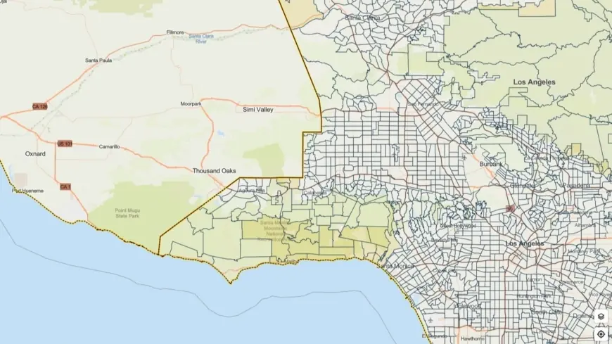
A powerful winter storm moving into the region has prompted flood watches and evacuation warnings across Los Angeles County. The watch runs from Monday morning through Monday evening ET, while evacuation warnings for select parcels near recent wildfire burn scars remain in effect through 9 a. m. Tuesday ET. Officials are warning of heavy rain, rapid runoff, debris flows and localized severe weather that could pose immediate threats to communities in vulnerable terrain.
Evacuation warnings, flood watch and primary hazards
Emergency managers have issued evacuation warnings for residents living in and around burn scar areas, where soil and vegetation loss from recent wildfires greatly increases the risk of rock and mudslides. Debris flows are a particular concern on slopes and in drainages below burned areas; these flows can develop quickly during high-intensity rainfall and carry boulders, tree trunks and other dangerous material.
The regional weather service has highlighted the potential for intense downpours, with rain rates up to one inch per hour possible in the heaviest cells. Embedded thunderstorms could bring strong gusts reaching roughly 60 mph and brief, small tornadoes in some storms. Those conditions raise the threat of flash flooding, fallen trees and power outages, especially in neighborhoods near steep terrain and older drainage infrastructure.
City and county response and preparedness
City leadership has urged residents in high-risk zones to take precautions now and be ready to move if evacuation orders are issued. Personnel from fire, public works and other emergency teams are staged and preparing to respond to slides, downed trees and flooded roadways. Crews will also be monitoring critical infrastructure and clearing debris where possible to reduce localized impacts.
County officials emphasized coordinated outreach to protect vulnerable residents. Efforts include targeted notifications, activation of temporary lodging options and coordinated outreach teams to connect people experiencing homelessness with shelter resources during the storm. Evacuation warnings are focused on parcels identified near recent burn scars; those in affected areas should expect rapid updates from local authorities and be prepared to leave on short notice.
What residents should do now
Residents in the county should take immediate steps to reduce risk: assemble a go-bag with essentials, identify several evacuation routes that avoid burn scars and steep canyons, and move vehicles to higher ground before heavy rain begins. Do not drive through flooded roadways — even a few inches of moving water can sweep a vehicle off the road. Stay out of dry streambeds and canyons during storms, and avoid walking near unstable slopes or recent burn scars.
Keep battery-powered flashlights and a radio available in case of power loss, and secure loose outdoor items that could become hazards in high winds. Monitor local emergency alerts and official guidance from city and county channels for real-time maps and any evacuation orders. If you are in a vulnerable location, plan to evacuate early rather than waiting for mandatory orders.
The immediate threat window is Monday morning through Monday evening ET for widespread heavy rain, with evacuation warnings extending through 9 a. m. Tuesday ET for select burn-scar parcels. Residents are urged to be prepared, exercise caution on the roads, and prioritize safety if conditions deteriorate rapidly.


