


Wind advisory for the Orange County and Santa Ana Mountains area for Monday
A wind advisory was issued Saturday and will take effect Monday, Feb. 16, bringing sustained southerly winds and strong gusts to Orange County and the Santa Ana Mountains. The advisory runs from 10: 00 a. m. ET to 11: 00 p. m. ET and coincides with the arrival of a Pacific cold front that will push through the region during the afternoon.
What the advisory says
Forecasts call for south winds of 15 to 25 mph with gusts of 30 to 40 mph and locally higher gusts up to 45 mph. Winds are expected to peak as the cold front moves inland. The strongest gusts will likely occur during and immediately after the frontal passage.
Timing and areas affected
The advisory window is Monday, Feb. 16, from 10: 00 a. m. ET to 11: 00 p. m. ET. The cold front is expected to move through the area during the afternoon hours, bringing the highest winds to coastal and foothill locations first and then to inland valleys later in the day. Mountain corridors and ridge tops in the Santa Ana Mountains will be particularly vulnerable to strong gusts.
Expected impacts
Gusty winds can toss unsecured objects, snap weak branches and cause localized power outages. High-profile vehicles, including trucks and recreational vehicles, will be more difficult to control in crosswinds. In nearby counties, recent storm activity has produced gusts as high as 50 to 60 mph, underscoring the potential for hazardous wind conditions across the region.
How to prepare
Secure loose outdoor items such as patio furniture, trash cans and gardening equipment. Trim damaged or dead branches that could fall during gusty periods. If you have sensitive outdoor equipment, bring it inside or anchor it. Keep a flashlight and charged phone on hand in case of brief power interruptions.
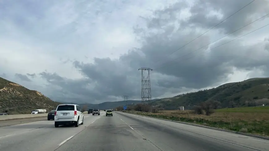
Travel and road safety
Drivers should slow down and maintain a firm grip on the steering wheel. Extra caution is advised when passing high-profile vehicles or negotiating exposed stretches of road and bridges. A highway patrol officer advising motorists highlighted that large vehicles are at particular risk and urged drivers to reduce speed to maintain stability. Before heading out, check that tires, windshield wipers and headlights are in good working order.
For anyone outdoors during gusty periods, seek shelter and avoid standing near trees or unsecured structures. Those who work outside or operate equipment should postpone nonessential tasks until winds ease. Residents in burn-scarred areas should remain alert for gust-driven debris and drifting dust.
Conditions may change rapidly as the front progresses through the region. Monitor local weather updates and be prepared to adjust plans if stronger winds or additional storm impacts develop.