


Winter weather warning: Sierra storm could dump up to 8 feet; Reno may start with rain then turn to snow
A potent winter storm will slam the Sierra Nevada beginning late this weekend, threatening heavy snowfall, powerful winds and hazardous travel across the Sierra and parts of Nevada. The watch window runs from 1: 00 a. m. ET Monday, Feb. 16, through 1: 00 a. m. ET Thursday, Feb. 19, and forecasters are urging travelers to reconsider last-minute trips for Presidents Day weekend.
What forecasters are warning
Forecasters say this system could be the strongest to hit the region since around Christmastime, with the heaviest snowfall expected Monday afternoon, Feb. 16, through Tuesday, Feb. 17 (ET). At higher elevations along the Sierra crest, total snowfall could reach 4 to 8 feet by midweek. Authorities have elevated alerts and are preparing for major travel impacts during peak snowfall.
Timing and expected totals
Snow is expected to begin Sunday evening local time, which corresponds to the early hours of Monday, Feb. 16, ET. The most intense rates should occur late Monday afternoon into Tuesday afternoon ET, when short periods of several inches per hour are possible. Forecast totals vary by elevation: along the crest and at places such as Donner Pass, 4 to 8 feet is possible by Wednesday evening ET. At lake level in the Tahoe Basin, 18 to 30 inches are possible, with higher counts along the West Shore and in Alpine County. Lower-elevation foothills can still see substantial accumulation.
Wind, whiteouts and road impacts
Strong winds will accompany heavy snow. Sustained gusts of 45 to 55 mph are possible in valley and mountain areas, with ridge gusts significantly higher. In some Sierra ridges, gusts could exceed 100 mph. Those winds combined with heavy snowfall are likely to produce whiteout conditions, reduced visibility and drifting snow. Chain controls are expected on Interstate 80 and other mountain routes; road closures are possible during the storm's peak.
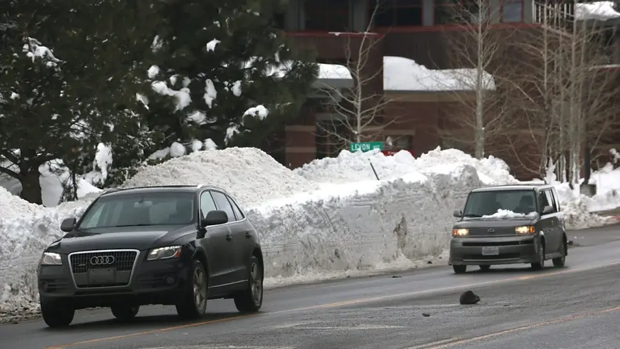
Reno and valley outlook
Valley areas including Reno are likely to begin the event with rain before colder air moves in early next week. Snow could reach valley floors by Monday night ET. There is a 25% to 60% chance of at least 2 inches of snow in the Reno-Carson area, with foothill communities and higher-elevation towns facing a much higher likelihood of measurable accumulations. Even if Reno totals remain lower than the Sierra, periods of slick roads and slower-than-normal travel are expected.
Advice for travelers and residents
Officials are urging people planning to cross the Sierra for holiday travel to get to their destinations before Sunday evening local time if possible. For those who must travel, be prepared for long delays: carry chains or traction devices, keep a full tank of gas, pack emergency supplies and allow extra time. Utilities and road crews may face outages and blocked routes from downed trees and power lines during the strongest winds. Residents and visitors should monitor updates through official channels and consider delaying nonessential travel until conditions improve.
This storm spans several days and could also affect portions of western Nevada and neighboring states. With heavy, wet snow and extreme wind gusts possible in places, the situation bears watching for evolving travel and safety concerns through midweek ET.