


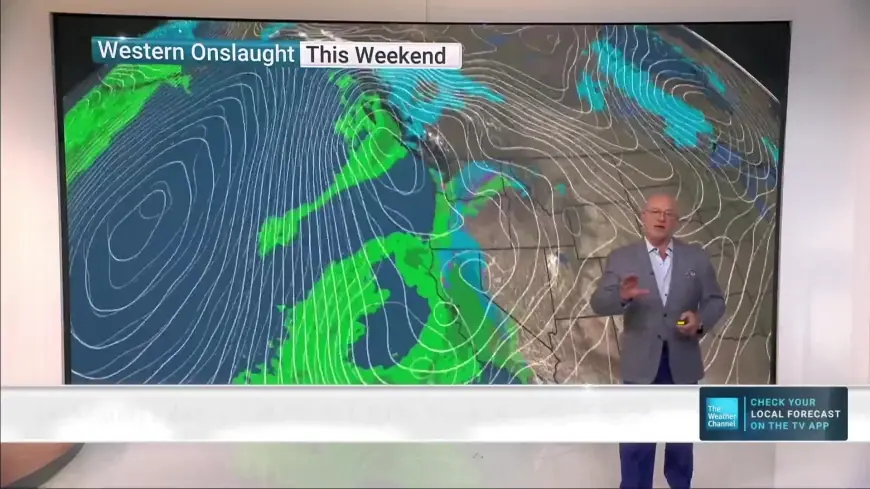
Major Winter Storm Poised to Disrupt I-5 Travel; Caltrans Urges Cancellations
State transportation officials are warning of a potent winter storm moving into the western United States beginning Sunday, Feb. 15 (ET) and continuing into Wednesday, Feb. 18 (ET). The most significant impacts are expected along mountain corridors and the Interstate 5 corridor, where closures and extended travel disruptions are possible. Authorities are urging people to avoid nonessential travel and prepare for rapidly changing conditions.
Storm timing and expected path
Forecast models indicate the system will sweep inland late Saturday night into Sunday, Feb. 15 (ET), bringing a band of heavy snow to higher elevations and cooler coastal areas. The event is expected to persist through midweek, tapering off by Wednesday, Feb. 18 (ET), but intermittent snow and strong winds may continue to affect travel during the transition period. Mountain ranges are forecast to receive the bulk of snowfall, while lower-lying valleys could see brief mixing or snow in elevated pockets.
Interstate 5 singled out for possible closures
Interstate 5 is the corridor officials singled out as most vulnerable to disruption during this storm. Crews are preparing for operations that could include traffic screenings, slow orders, and potential full closures where conditions become unsafe. Travelers who use I-5 between northern California and southern Oregon should expect delays, detours and the possibility of being unable to pass through key summit areas while crews work to keep the highway clear.
Key mountain passes and coastal foothills at risk
Snow is expected outside valley floors and into coastal-adjacent passes. Named areas of concern include Buckhorn, Oregon Mountain, Berry Summit and Lord Ellis, where heavy, wet snow and gusty winds can quickly create whiteout conditions and unstable road surfaces. Low visibility, drifting snow and chains-only restrictions are likely in these locations, and even short stretches of elevated roadway can become impassable for standard vehicles.
What transportation crews are doing
Maintenance and operations teams are staging equipment, stockpiling materials and positioning crews along key routes to respond quickly as conditions deteriorate. Roadside service and incident response staff are preparing to assist motorists, perform snow removal and apply traction materials on steep grades and high-traffic corridors. Officials emphasize that while crews will be working around the clock, there are limits to how quickly highways can be cleared during intense snowfall and repeated storms.
Practical guidance for drivers
Officials urge motorists to postpone travel if possible. For those who must drive, practical steps include carrying tire chains and ensuring you know how to install them, topping off fuel and emergency supplies, and giving yourself extra time for slower conditions. Check real-time road condition tools before departing and be prepared to turn around or shelter in place if roads become unmanageable. Motorists should expect chain requirements and enforced restrictions on certain mountain routes.
Safety priorities and final advisories
The overarching message from transportation authorities is to prioritize safety over schedule. Rapidly changing conditions can catch even experienced drivers off guard. If travel cannot be avoided, plan for significant delays, monitor road condition updates, and follow direction from highway personnel during screenings or closures. Those living in or traveling through higher elevations should be prepared for heavy, wet snow that can bring tree branches down and create additional hazards along roadways.
With the storm set to impact the region from Sunday, Feb. 15 (ET) into Wednesday, Feb. 18 (ET), residents and travelers are advised to monitor local advisories and to take recommended precautions now to reduce exposure to hazardous winter conditions.