


Bureau Alerts SEQ: Prepare for More Rain and Flood Risks
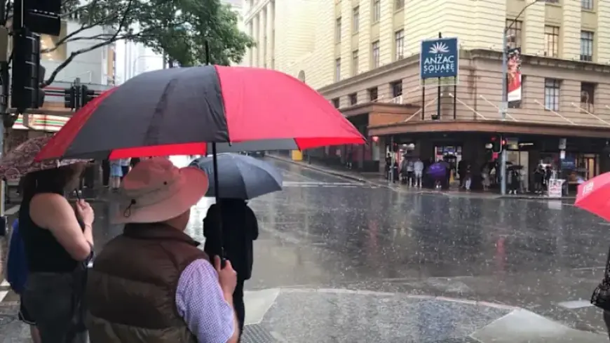
The Bureau of Meteorology has issued alerts for increased rain and flood risks in south-east Queensland. After a hot week with temperatures reaching the mid-30s, storms brought a cool change. Some areas recorded up to 76 millimetres of rain overnight, dropping Brisbane’s forecast high to just 25 degrees.
Weather Impact in South-East Queensland
Rainfall across the region varied significantly. From Thursday afternoon to Friday, widespread totals ranged between 20 to 60 millimetres. Central Queensland also saw storms moving toward the coast, with northern New South Wales experiencing nearly 180 millimetres of rain from Thursday morning to Friday morning. Mount Playfair recorded 100 millimetres of rainfall during this period.
Forecast and Warnings
The Bureau of Meteorology predicts that wet weather will persist as a trough moves north from NSW. Expected rainfall totals could reach between 50 to 90 millimetres over six hours, with isolated areas possibly receiving as much as 150 millimetres.
- Severe thunderstorm warnings could be issued later today.
- Heavy rain warnings were active as of 7:45 AM today.
- Flood watches are in place from Bundaberg to Ballina, NSW.
- Impacted areas include Charleville and surrounding regions.
Safety Precautions
Senior meteorologist Miriam Bradbury cautions that these rainfall totals may lead to flash flooding and swollen rivers. Localized inundation may affect roads, walkways, and properties. This could create dangerous conditions on the roads, causing power outages and transport delays.
Residents in affected areas are advised to stay updated with weather alerts and to exercise caution when traveling. It is crucial to be prepared for sudden changes in weather conditions.