


Snow Arrival Forecast: Here’s What We Know
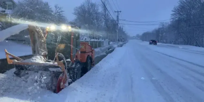
As weather experts prepare the population for severe winter conditions, St. John’s and its neighboring regions are bracing for significant snowfall. The eastern half of the island is set to receive between 35 and 50 centimeters of snow over the next couple of days, according to forecasts from Environment Canada. The expected timeline outlines snow accumulation, wind gusts, and weather changes for various affected areas.
Snow Arrival Forecast: Key Details
St. John’s, Metro, and Clarenville Timeline
- 2:30 a.m.: Storm commences, characterized by heavy snowfall and blowing snow. Winds will be from the east at 40 km/h, gusting up to 60 km/h.
- 5:30 a.m.: Winds shift to northeast, gusting between 60 and 80 km/h, with snow continuing. Temperature around -2°C.
- 11:00 a.m.: Winds intensify (80-100 km/h), with ongoing snowfall. Total expected snowfall reaches 35-50 cm, with overnight accumulation of 10 cm, daily totals of 20-30 cm, and another 5-15 cm expected into Tuesday morning.
Trepassey and Southern Avalon Forecast
- 1:30 a.m.: Heavy snow begins with strong winds from the east at 40 km/h.
- 6:30 a.m.: Transition to freezing rain and ice began.
- 1:00 p.m.: Winds increase to gusts of 80-100 km/h, with rain following and continuing into the afternoon.
- 4:00 p.m.: Rain reverts to snow, which persists through Monday evening.
- Monday will see an additional snowfall and ice pellet accumulation of approximately 10 cm.
Marystown and Burin Peninsula Conditions
- 1:30 a.m.: Storm system begins, featuring heavy snowfall and strong winds.
- 9:30 a.m.: Wind gusts reach up to 80-100 km/h, with 15 cm of snow expected north of Marystown and 5 cm south.
Burgeo to Ramea Weather Update
- 3:30 a.m.: Snow begins, with wind from the northeast at 50-70 km/h.
- 11:30 a.m.: Snow intensity decreases.
Central Newfoundland: Gander and Grand Falls-Windsor
- 3:30 a.m.: Moderate snowfall starts, with winds at 20-40 km/h.
- 1:00 p.m.: Snow and blowing snow continue, with gusts rising to 40-60 km/h.
Warnings Issued
Environment Canada has issued three advisories:
- Coastal flood warning
- Blowing snow advisory
- Wind warning
No additional snowfall is predicted for Monday night. Residents are advised to stay updated on weather conditions and take necessary precautions during this severe winter storm.