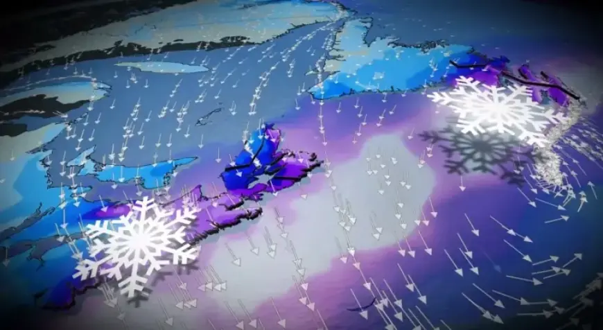
East Coast Nor’easter to Dump 30-50+ cm of Windswept Snow

A significant nor’easter is forecasted to impact Atlantic Canada, particularly Nova Scotia and Newfoundland, over the weekend. This powerful storm will bring heavy snowfall and hazardous conditions, especially from Sunday evening into Monday.
Snowfall and Timing
Snow is expected to initiate in Nova Scotia late on Sunday afternoon. The areas most affected include:
- South Shore
- Yarmouth region
- Halifax metro area
Snowfall is projected to commence between 4 and 6 p.m. on Sunday. Conditions will worsen rapidly that evening as the storm approaches the coast.
Blizzard Conditions and Travel Risks
The nor’easter is predicted to deliver snowfall rates of 2 to 4 centimeters per hour. Coupled with wind gusts reaching 60 to 90 km/h, these conditions could lead to blizzard scenarios, particularly in exposed regions and coastal areas.
Travel will likely become dangerous, with the potential for whiteouts. As a result, there is a risk of school closures on Monday.
Path and Variability of the Storm
There is some uncertainty surrounding the storm’s precise trajectory. If the nor’easter remains slightly offshore, snowfall amounts may be reduced for certain coastal areas of Nova Scotia.
Continued Effects through Monday
Snow and strong winds are expected to persist as the system progresses eastward into Newfoundland. Residents in affected regions should prepare for continued challenging weather conditions and stay informed about updates.


