


Polar vortex forecast signals another deep freeze for the East into mid-February
A sprawling Arctic air mass that has already driven dangerous cold, snow, and ice across a wide swath of the U.S. is not done yet. The latest long-range guidance keeps the eastern third of the country locked in a cold-leaning pattern into early and mid-February, with forecasters flagging renewed shots of Arctic air and pockets of high-wind risk that could worsen wind chills and complicate recovery in hard-hit areas. The phrase “polar vortex weather forecast” is surging again as people look for clarity on what’s coming next.
Online queries even include the literal string, reflecting how people are tracking maps, outlook tables, and week-ahead hazard guidance.
The storm-and-ice aftermath is still unfolding
In parts of the South and lower Midwest, impacts are piling up after consecutive winter systems. Power outages have lingered for days in some areas following heavy snow and damaging ice, with temperatures staying cold enough to turn restoration work into a race against time. Another winter storm has been lining up along the East Coast, bringing the familiar combination of snow, gusty winds, and coastal impacts—especially where snow removal resources are limited.
The cold is also showing up in energy demand. PJM Interconnection, the largest U.S. power grid operator, said electricity demand hovered near winter-record territory late this week as frigid air boosted heating load, while generation outages and fuel constraints added stress in pockets of the system.
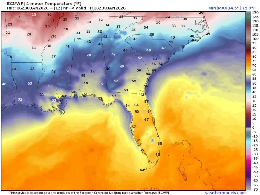
Polar vortex forecast: what the maps are actually saying
“Polar vortex” can mean different things in headlines versus meteorology. The National Weather Service defines the polar vortex as a large area of low pressure and cold air surrounding the poles that always exists, strengthening in winter; at times it can expand and help steer cold air southward with the jet stream. The key point for day-to-day living is not the label, but whether the jet stream pattern allows repeated Arctic intrusions.
Right now, the pattern supports exactly that: a cold-favoring setup for the East with less consistent cold for the West, which has been more often under ridging and milder air.
Early February outlook: cold East, warmer West
The NOAA Climate Prediction Center’s 6–10 day outlook (valid Feb. 4–8) issued at 3:00 p.m. ET Thursday, Jan. 29, favors below-normal temperatures over much of the contiguous U.S. east of the Mississippi River. The same outlook leans strongly above normal across the western U.S., spreading into much of the Plains.
In the 8–14 day window (valid Feb. 6–12), CPC keeps below-normal temperatures favored east of the Mississippi again, with the strongest odds centered on the Mid-Atlantic and Northeast. That outlook also notes signals for “another round of Arctic air” pushing into the eastern U.S. during week two, even as confidence drops later in the period due to diverging model solutions.
Week-2 hazards: wind chills and high winds
CPC’s week-2 hazards outlook highlights how cold can become more dangerous when wind and storm tracks align. For Feb. 8–12, it flags a “moderate risk” of much below-normal temperatures for parts of the Northeast, eastern Great Lakes, Central Appalachians, and upper Mid-Atlantic around Feb. 8–9, plus a broader “slight risk” of much below-normal temperatures for most areas east of the Mississippi from Feb. 8–12.
It also flags a “slight risk” of high winds over parts of the Northeast, Mid-Atlantic, eastern Great Lakes, and Appalachians from Feb. 6–10—an important detail because wind can quickly push wind chills into more dangerous territory even if actual air temperatures don’t set new records.
What “sudden stratospheric warming” adds to the February debate
Some longer-range discussions have been focusing on the possibility of a sudden stratospheric warming event in early February and what that can do to the polar circulation. These events can disrupt the stratospheric polar vortex and sometimes increase the odds of blocked patterns and colder intrusions later, but the surface impacts are variable in timing and location. In practical terms: it can raise the ceiling for additional cold episodes later in February, but it doesn’t guarantee where the coldest air will land—or exactly when.
Key takeaways for the next two weeks
-
The East remains favored for below-normal temperatures into at least Feb. 12, with signals for another Arctic push in week two.
-
High-wind risk along the East could worsen wind chills and elevate outage and travel concerns during storms.
-
The West and parts of the Plains are more likely to run milder than normal early February, though that can shift if the large-scale pattern breaks down.
Sources consulted: NOAA Climate Prediction Center, National Weather Service, Reuters, Associated Press, The Weather Channel, The Washington Post


