


Magnitude 4.2 Earthquake Shakes Montana Near Great Falls, Reports USGS
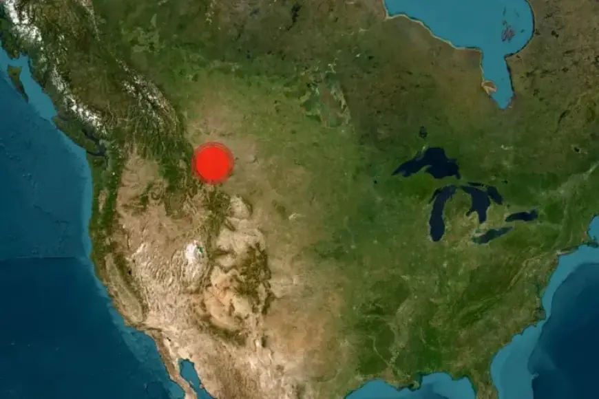
A magnitude 4.2 earthquake occurred near Great Falls, Montana, on January 29, 2026. According to the United States Geological Survey (USGS), the quake’s epicenter was situated about 7.5 miles north-northeast of Malmstrom Air Force Base. It struck at a depth of approximately 12 kilometers.
Details of the Earthquake
The earthquake was classified as relatively shallow, which may explain why it was felt over a broad area. Residents in the vicinity reported feeling tremors, but there were no immediate indications of significant damage or injuries.
Epicenter and Depth
- Epicenter Location: 7.5 miles north-northeast of Malmstrom Air Force Base
- Depth: Approximately 12 kilometers
Earthquake Activity in Montana
Earthquakes are relatively rare in Montana when compared to more seismically active regions. However, they do occur, primarily in the western and central areas of the state. Montana is located near several fault lines associated with the northern Rocky Mountains.
Historical Context
While most earthquakes in Montana tend to be minor, the state has experienced significant seismic events in the past. A notable example is the Hebgen Lake earthquake in 1959.
This incident serves as a reminder of the state’s seismic potential. Residents should remain aware of earthquake safety measures, even though such events are infrequent.
For further updates on seismic activity and safety information, stay tuned to Filmogaz.com.