


Snow Weather Forecast: What the Met Office Says About Where Wintry Conditions Could Hit Next
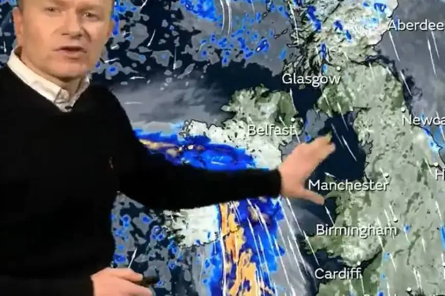
A fresh snow weather forecast from the Met Office points to an unsettled late-January pattern, with repeated Atlantic systems pushing in and a stubborn block of higher pressure to the east slowing them down. That tug-of-war matters because it keeps the UK in a stop-start cycle of rain bands, gusty winds, and pockets of hill snow where colder air and elevation line up, especially across northern and northeastern Scotland. While widespread low-level snow is not the main theme right now, the combination of heavy precipitation, strong winds, and colder air aloft is enough to create tricky travel and rapidly changing conditions on higher routes.
Snow weather forecast Met Office: The setup driving hill snow risk
The overall pattern is changeable rather than a single “big snow event.” Low pressure systems approach from the southwest, but they weaken or get diverted as they run into resistance from higher pressure to the east. Practically, that means:
-
Bands of rain move through, sometimes lingering in the north and east.
-
Brisk onshore winds keep feeding moisture into northeastern Scotland.
-
Colder air over high ground turns some of that precipitation into snow (and sometimes a mix of rain, sleet, and snow), most likely on hills and mountains.
For anyone traveling through upland passes or planning outdoor activity, the key point is that “rain in town” can still mean snow and poor visibility on higher roads nearby.
Where snow is most likely: High ground in the north and northeast
The highest confidence for wintry precipitation is focused on eastern and northeastern Scotland’s higher ground, where moist air is forced upward over terrain. That uplift cools the air and increases precipitation rates, making it easier for snow to form and settle at elevation.
Areas most exposed to wintry conditions typically include:
-
High routes across the Grampians
-
Upland stretches in parts of Central Scotland
-
Mountain and moorland roads in the Highlands
Even when snowfall totals are modest, impacts can be outsized because strong winds can create drifting, and temperatures near freezing can turn wet surfaces into ice quickly once precipitation eases.
Timing: A day-by-day look at snow and disruption potential
Below is a simple timeline based on the current warning pattern and forecast themes (times shown in UK winter time, which matches UTC in January):
| Day | Main theme | Snow signal |
|---|---|---|
| Tue 20 Jan | Strong winds and heavy rain in the southwest | Mainly high ground farther north later |
| Wed 21 Jan | Rain increasingly targets the northeast | Some hill snow possible on higher routes |
| Thu 22 Jan | Persistent precipitation in the northeast | Higher chance of snow over high ground |
| Fri 23 Jan | Another pulse of wind/rain; colder air edges in | Hill snow still likely in the east/northeast |
A crucial detail: the wintry risk increases when heavier precipitation arrives at the same time as colder air filters in. That overlap can shift the snowline up or down quickly, so conditions may change within a few hours.
Why this matters even without widespread low-level snow
This kind of pattern often produces the most disruption through secondary hazards, not headline snow totals:
-
Travel delays: High-sided vehicles on exposed routes, difficult driving in gusts, and higher-road snowfall creating sudden slowdowns.
-
Flooding concerns: Persistent rain can swell rivers, and precipitation falling as snow over high ground can add uncertainty to runoff timing downstream.
-
Ice risk: After rain or wet snow, temperatures dipping close to freezing can create black ice, especially overnight and early morning.
-
Power interruptions: Strong gusts combined with saturated ground can increase the chance of fallen branches and local outages.
If you’re commuting, the most practical approach is to plan around the peak weather windows, expect slower journeys, and be ready for last-minute changes if warnings are updated.
What to watch next: Signs the snow threat could increase
The Met Office messaging also highlights a possible colder trend into the weekend and into next week. That doesn’t guarantee widespread snow, but it’s the type of background shift that can turn “hill snow” into a broader wintry mix if:
-
The blocking high to the east strengthens and pulls in colder air more effectively
-
A low pressure system tracks a little farther south or stalls
-
Night-time temperatures fall enough for snow to settle at lower elevations
In short: the current snow weather forecast from the Met Office favors high ground wintry conditions first, with the potential for a more notable chill later if the larger pattern nudges colder.
Practical tips if you’re heading to higher ground
-
Check the latest forecast for your exact route, not just your destination town.
-
Assume conditions will be harsher on exposed ridges and passes: stronger gusts, lower visibility, and faster temperature drops.
-
Carry essentials for delays: warm layers, phone power, and basic supplies.
-
If you’re hiking or driving into uplands, treat “rain turning to snow” as a visibility and navigation problem as much as a snowfall problem.
As this is a dynamic setup, small shifts in wind direction and temperature can move the snowline quickly. Keep monitoring updates through the day, especially if you’ll be traveling Wednesday through Friday or using higher routes in the north and northeast.


