


Eastern Michigan Faces Near-Blizzard as Winter Weather Advisory Expands
Severe winter weather is forecasted to impact Eastern Michigan as a winter weather advisory expands across the region. Residents can expect near-blizzard conditions beginning tonight and lasting into Tuesday morning.
Winter Weather Advisory and Warnings
The winter weather advisory now includes major cities such as Lansing, Ann Arbor, Detroit, Flint, Saginaw, Bay City, Midland, and the Thumb. This advisory is due to a combination of factors:
- One to two inches of snowfall.
- Wind gusts reaching up to 40 mph.
- Severely cold wind chills.
Forecasted Snow Accumulation
Counties under the winter storm warning, marked in pink, are expected to receive between six to ten inches of snow by 7 a.m. on Tuesday. The snow in this area is expected to be dry, leading to significant blowing and drifting. This snow originates from lake-effect systems, which can result in heavier accumulations.
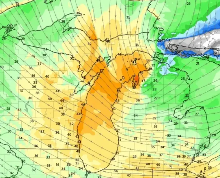
Timing of Wind Gusts
Strong wind gusts will begin affecting southwest lower Michigan, including Grand Rapids and Kalamazoo, starting around 6 a.m. on Monday. By 9 a.m., gusts of 35 to 45 mph will be felt, especially near the coast.
The peak wind gusts are projected to reach areas like Saginaw, Flint, Ann Arbor, and Detroit around 1 p.m. on Monday, contributing to the dangerous conditions.
Potential Blizzard Conditions
Blizzard conditions are possible with wind gusts over 35 mph and visibility dropping to as low as one-quarter mile. To classify these conditions as a blizzard, they must persist for at least three hours. Regardless of formal classification, driving will be hazardous throughout Monday.
Travel Precautions
Travelers in the region should take precautions due to expected dangerous driving conditions. Updates and further forecasts can be monitored at Filmogaz.com for real-time information on this severe winter weather event.