


Early Snow and Dropping Temperatures Hit Southeast Wisconsin
Temperatures in Southeast Wisconsin experienced a significant drop following a period of unseasonably warm weather. An arctic front has moved in, causing early snow and chilly temperatures across the region.
Early Snow and Dropping Temperatures in Southeast Wisconsin
After seeing highs in the 50s, temperatures began to plummet early this morning. By 9 a.m., readings dipped into the 20s, with light to moderate snow showers affecting the morning commute.
Impact on Visibility and Road Conditions
Snowfall is expected to reduce visibility, creating slick spots on roadways. Motorists should prepare for challenging conditions during their travels.
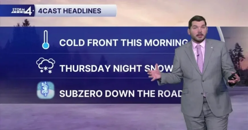
Forecast Details
- Wednesday: Morning snow showers with high temperatures around 22°F. Winds from the north at 15-20 mph, gusting up to 40 mph.
- Tonight: Partly cloudy and windy with a low of 13°F. Wind chill may drop to 0-5°F.
- Thursday: Increasing clouds with snow likely overnight; high near 24°F.
- Friday: Expect more snow with potential accumulation; high of 36°F.
- Saturday: Scattered snow showers, breezy and cold, with a high of 21°F.
- Sunday: Chance of flurries and partly cloudy skies, high around 17°F.
Blustery winds from the northwest will persist, making conditions feel even colder. The wind could gust up to 40 mph, significantly impacting outdoor activities and travel plans.
As the weekend approaches, temperatures are forecasted to remain cold, dipping into the teens. Residents should stay alert for continuing snow flurries throughout the weekend.
Preparedness Recommendations
As early snow and dropping temperatures affect the area, it is advisable to stay informed and prepared. Check local forecasts regularly for updates on snowfall and road conditions.


