


Severe Storms Threaten Upstate NY: Flooding Alert Issued
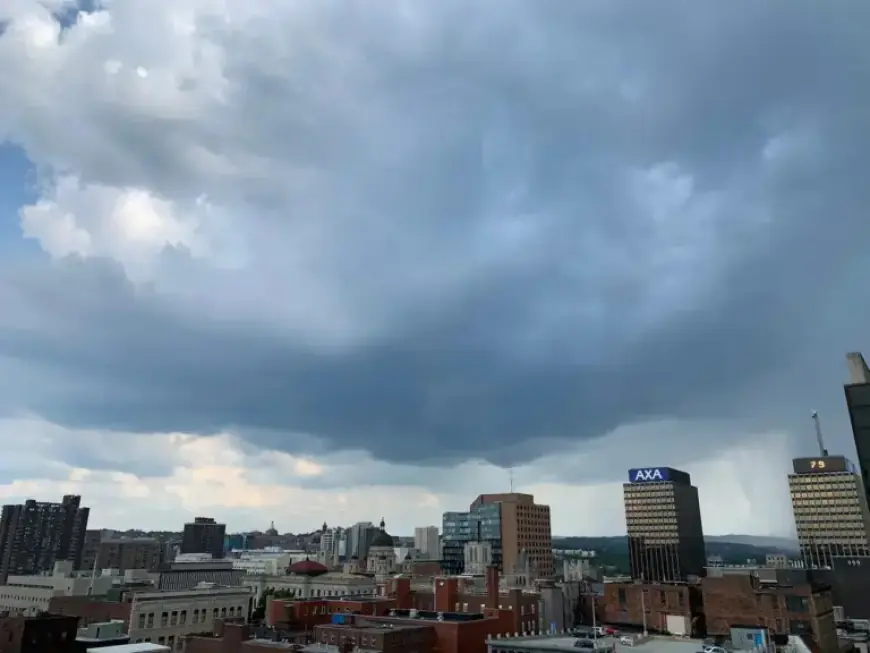
The National Weather Service says heavy rain and strong thunderstorms are more likely across Upstate New York today. A severe thunderstorm watch covers much of the state through 9 p.m.
Filmogaz.com reports a flood watch is in effect through Wednesday night. Forecasters warn conditions could worsen into the holiday weekend.
Where the risk is greatest
The Finger Lakes and Mohawk Valley face the highest flash flood threat. Odds of flash flooding within 25 miles of any point rose to 15%–40% this afternoon.
Forecasters earlier placed those odds between 5% and 15%. The increase followed a midday lull that allowed heating of the atmosphere.
Rain totals and wind threats
As much as 1 to 2 inches of rain has already fallen in spots. Another inch or two is possible across much of Upstate through tonight.
Thunderstorms could produce gusts as high as 75 mph (120 kph). Heavy downpours may cause localized flash flooding on saturated ground.
Watches, timing and outlook
The severe thunderstorm watch applies to counties highlighted by the National Weather Service until 9 p.m. A flood watch remains for much of Upstate through Wednesday night.
More rounds of storms could bring additional rainfall through the Easter weekend. Residents should expect intermittent heavy rain and embedded severe storms.
Safety guidance
- Move vehicles off low-lying roads and avoid driving through floodwater.
- Secure outdoor items that could blow away in strong gusts.
- Monitor local alerts from the National Weather Service and local officials.
| Flash flood odds (morning) | 5%–15% |
| Flash flood odds (afternoon) | 15%–40% |
| Rain already fallen | 1–2 inches |
| Additional expected rain | 1–2 inches |
| Peak wind gusts | Up to 75 mph (120 kph) |
Severe storms are expected to impact travel and outdoor plans in Upstate NY. Keep emergency supplies handy and heed the flooding alert issued by forecasters.