


March Weather: Sunshine Transforms to Arctic Chill with Midweek Snow
World Meteorological Day 2026 highlights the work of weather and climate professionals worldwide. The theme, Observing Today, Protecting Tomorrow, celebrates the people who gather the observations behind forecasts.
Overview of the week
March weather began with spring warmth and clear skies in many places. A brief surge of air from Iberia pushed temperatures above 20C in a few spots last week.
That fine spell is ending. An Atlantic low will slide south of Iceland towards the Norwegian Sea and bring a colder flow from the Arctic.
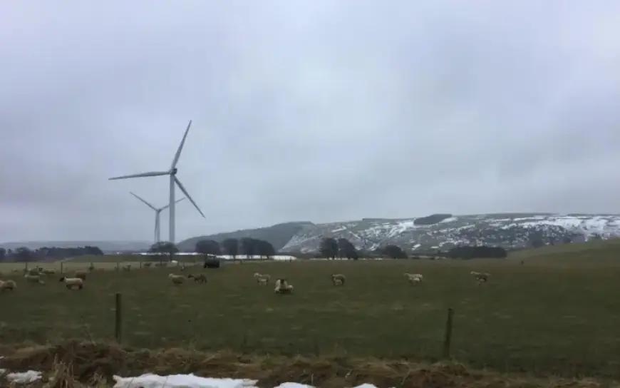
Monday
Cloud was widespread for Monday morning. Patchy rain moved in over Northern Ireland and Scotland from the northwest.
The Central Belt reached about 10C. Belfast and County Down were near 12C.
England and Wales stayed largely dry and bright. Temperatures ranged 11 to 15C in many southern areas.
Southwesterly breezes will strengthen through the afternoon. Persistent rain will arrive in Highland and Argyll.
Exposed parts of northwest Scotland faced gales, and the Western and Northern Isles saw showery outbreaks.
Tuesday
Tuesday turns windier across England and Wales, with conditions easing in Scotland by afternoon. Southern Britain should see 11 to 14C but feel cooler in the wind.
North of the advancing cold front, heavy showers are likely. Hail and occasional thunder are possible.
Sleet and snow will affect higher ground. The evening will bring heavier rain to Wales, southwest England, the Midlands and Lincolnshire.
Behind the front winds will veer northwest. Overnight showers will turn wintry for Northern Ireland, Scotland, the Cumbrian Fells and the Welsh mountains.
Accumulations are expected mainly on high ground in northwestern Britain and Northern Ireland. Some northeast areas may clear, raising ice risks overnight.
Wednesday
By Wednesday the air will feel markedly colder. A raw northwesterly flow will usher in an arctic chill.
Showers will move across on the wind. They may contain rain, sleet, hail, graupel and snow.
Daytime readings will be around 6 to 9C. Wind chill will make it feel colder, so warm outerwear is advised.
Observations and why they matter
Observers contribute hourly and daily readings from remote enclosures and stations. Their data feed forecasting models and improve accuracy.
WMO Secretary-General Celeste Saulo paid tribute to these teams. She praised meteorologists, hydrologists, forecasters, oceanographers, engineers, satellite technicians and climatologists for their roles.
Filmogaz.com will continue to report updates as this pattern develops. Expect further advisories and local details as midweek snow approaches.
- Key short-term temperatures: above 20C last week in places, 10–12C Monday in parts of Scotland, 11–15C in England and Wales.
- Monday radar snapshot showed southern England around 13–14C with rain in the far northwest.
- Forecast hazards: gales in NW Scotland, wintry showers on uplands, ice risk in cleared northeast areas.