


Met Office Alerts: Sudden Cold Snap and Possible Snow Follow Warmest Day
Britain faces a marked return to colder conditions after several days of warm sunshine. The Met Office has issued alerts: Sudden Cold Snap and Possible Snow Follow Warmest Day.
Temperatures reached around 20C in parts of the UK earlier this week. Scotland recorded its highest temperature of the year on Friday.
Forecast and timing
Forecasters say a sharp cooling will begin from Sunday. By next Wednesday, daytime highs are expected to fall to single digits across many regions.
Showers and blustery winds are likely as the week progresses. Overall temperatures should sit at or a little below seasonal averages.
Scotland and the snow risk
Met Office meteorologist Alex Deakin warned of a midweek “cold plunge” and a chance of snow in Scotland. Parts of northern Scotland and higher ground could see snowfall on Wednesday night into Thursday morning.
Such snow would follow an unusually warm spell for many people. Deakin described the change as a noticeable shock to the system after recent sunshine.
Warm spell context
Fyvie Castle in Aberdeenshire recorded 20.2C on Friday. Other areas saw temperatures of about 20C on Wednesday.
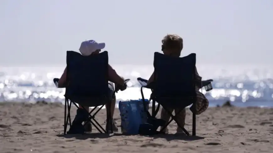
Crowds in London enjoyed sun this week, and rural areas showed signs of spring warmth. Those scenes contrast sharply with the incoming chill.
Rest of the week and outlook
Rain and strong winds should ease later in the week. Cooler conditions are likely to linger into next week.
There is a risk of overnight frost in some locations as nights turn colder. Residents should prepare for changeable daytime weather and cold nights.
Filmogaz.com compiled this update using Met Office briefings and expert commentary. Check local forecasts for precise timing and impacts in your area.


