


AI Deep Learning Boosts UCLA Efforts to Safeguard California Coastal Ecosystems
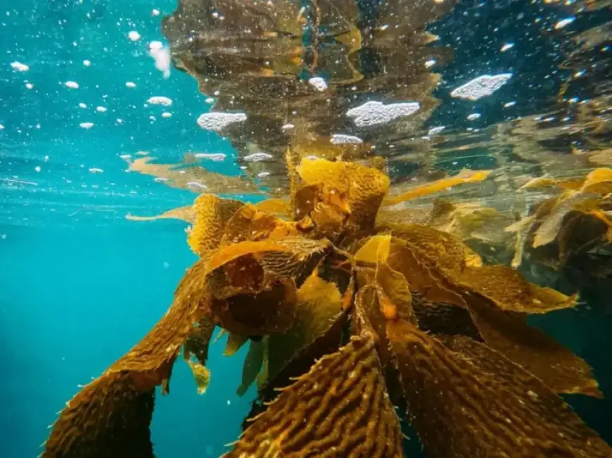
Researchers at UCLA’s Institute of the Environment and Sustainability have produced the most detailed statewide maps of California kelp forests to date. The work combines AI deep learning with high-frequency satellite data to reveal canopy changes unseen by older methods.
High-resolution mapping and methods
The team applied deep learning algorithms to imagery from Planet’s Dove satellite constellation. The resulting maps are roughly ten times more detailed than previous 30-meter resolution records.
Funding came from the California Ocean Protection Council and The Nature Conservancy. The maps are available to the public through KelpWatch.org.
Findings after the 2014–2016 marine heatwave
Analysis shows strong regional differences in kelp persistence after the 2014–2016 marine heatwave. Some areas in Sonoma and Mendocino counties lost more than 90% of their kelp canopy.
Other locations in central and southern California displayed greater resilience. Persistence correlated with pre-heatwave stability, local ocean temperature, depth and habitat fragmentation.
Implications for conservation
High-resolution data allow managers to detect small patches of remaining kelp. This precision supports targeted restoration and adaptive management.
California’s kelp forests underpin fisheries, tourism and biodiversity. Better monitoring helps safeguard coastal economies and ecosystem services.
Tools for managers, scientists and the public
KelpWatch.org offers interactive access to the new maps. The platform enables comparisons of trends between regions and within local sites.
Partners on the project include The Nature Conservancy, NASA, Woods Hole Oceanographic Institution, and UC Santa Barbara. Lead author Kate Cavanaugh and collaborators published the results in Nature Communications Earth and Environment.
Voices from resource managers
State scientists emphasize how finer spatial resolution improves assessment of restoration results. The California Department of Fish and Wildlife called the refined maps valuable for managing kelp harvest and recovery efforts.
Why AI and deep learning matter
AI deep learning techniques enhance detection of thin or fragmented kelp canopy. They also allow near real-time monitoring over long coastlines.
This technological leap adds a practical tool for efforts to safeguard California coastal ecosystems. It equips policymakers, researchers and local communities with actionable data.
Next steps
Conservationists plan to use the maps to guide the Kelp Restoration and Management Plan. The dataset will help prioritize sites for experiments and large-scale recovery.
Filmogaz.com is reporting on the deployment and public availability of these tools. The maps promise to inform management as kelp forests face future climate stressors.


